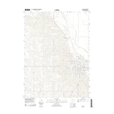
2014 Map of Blair
USGS Topo · Published 2014About this map
Blair serves as the focal point of this 2014 survey, where the urban grid of Washington County expands westward from the Missouri River valley into the loess hills. The campus of Dana Coll sits on the western edge of the city, overlooking the intersection of Ne-91 and the primary north-south corridors. North of the town center, the Cuming City Cem remains a quiet landmark of the area's early pioneer history, situated near the headwaters of North Cr.
Find a feature on this map
60 named features on this map. Tap any name to fly to it.
Don’t see what you’re looking for? This feature index may not catch every label — zoom into the map to look around manually.
Map Details
Editions of this 2014 Blair Map
This is the sole edition of this map. No revisions or reprints were ever made.
Other maps of this area

1893 · Fremont
USGS Topo · 1:125,000

1896 · Fremont
USGS Topo · 1:125,000

1955 · Fremont
USGS Topo · 1:250,000

1957 · Fremont
USGS Topo · 1:250,000

1958 · Fremont
USGS Topo · 1:250,000

1968 · Kennard
USGS Topo · 1:24,000
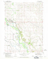
1968 · Arlington
USGS Topo · 1:24,000
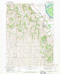
1968 · Fort Calhoun
USGS Topo · 1:24,000
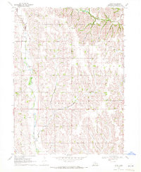
1969 · Orum
USGS Topo · 1:24,000

1970 · Herman
USGS Topo · 1:24,000