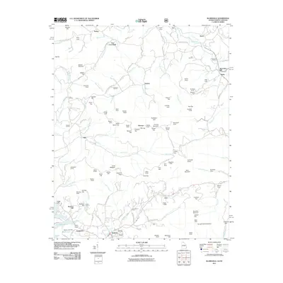
2011 Map of Blairsville
USGS Topo · Published 2011About this map
Blairsville stands as the primary hub in this Appalachian landscape, where the Blairsville Post Office and several burial grounds like Blairsville Cemetery and Zebulon Cemetery anchor the local community. The topography is defined by a dense network of gaps and knobs, including Gumlog Gap and Turkey Knob, which separate numerous small coves and branches. In the northeastern corner, Alexanders Mill sits along Brasstown Creek, reflecting the historical importance of water-powered industry in these valleys.
Find a feature on this map
143 named features on this map. Tap any name to fly to it.
Don’t see what you’re looking for? This feature index may not catch every label — zoom into the map to look around manually.
Map Details
Editions of this 2011 Blairsville Map
This is the sole edition of this map. No revisions or reprints were ever made.
Other maps of this area

1886 · Dahlonega
USGS Topo · 1:125,000

1888 · Ellijay
USGS Topo · 1:125,000

1892 · Dahlonega
USGS Topo · 1:125,000

1892 · Ellijay
USGS Topo · 1:125,000

1893 · Murphy
USGS Topo · 1:125,000

1896 · Dahlonega
USGS Topo · 1:125,000

1898 · Ellijay
USGS Topo · 1:125,000

1903 · Dahlonega
USGS Topo · 1:125,000

1911 · Ellijay
USGS Topo · 1:125,000

1914 · Murphy
USGS Topo · 1:125,000