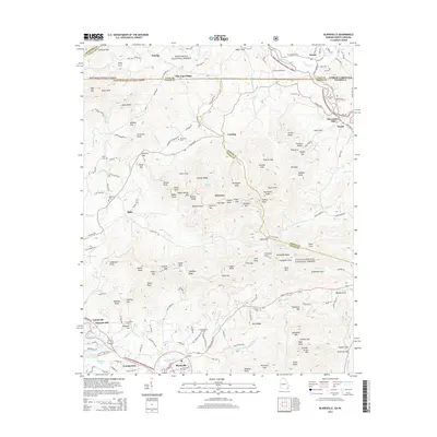
2014 Map of Blairsville
USGS Topo · Published 2014About this map
Blairsville serves as the focal point of this North Georgia mountain landscape, situated at the junction of Butternut Creek and several mountain gaps. The map documents the boundary between the Nantahala National Forest and the Chattahoochee National Forest, reflecting the area's transition from early industrial sites like Alexanders Mill to a more modern residential and recreational character near Nottely Lake. Genealogists will find a wealth of local family history through numerous burial grounds, including Union Memory Garden, Zebulon Cemetery, and the Henderson Cemetery. Smaller settlements such as Pine Log Village and Welch dot the narrow valleys, while prominent peaks like Gumlog Mountain and Ballard Mountain divide the watersheds. The network of winding routes like Gumlog Road and Pine Log Church Road illustrates the persistent influence of the terrain on local connectivity.
Find a feature on this map
165 named features on this map. Tap any name to fly to it.
Don’t see what you’re looking for? This feature index may not catch every label — zoom into the map to look around manually.
Map Details
Editions of this 2014 Blairsville Map
This is the sole edition of this map. No revisions or reprints were ever made.
Other maps of this area

1886 · Dahlonega
USGS Topo · 1:125,000

1888 · Ellijay
USGS Topo · 1:125,000

1892 · Dahlonega
USGS Topo · 1:125,000

1892 · Ellijay
USGS Topo · 1:125,000

1893 · Murphy
USGS Topo · 1:125,000

1896 · Dahlonega
USGS Topo · 1:125,000

1898 · Ellijay
USGS Topo · 1:125,000

1903 · Dahlonega
USGS Topo · 1:125,000

1911 · Ellijay
USGS Topo · 1:125,000

1914 · Murphy
USGS Topo · 1:125,000