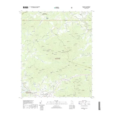
2020 Map of Blairsville
USGS Topo · Published 2020About this map
Blairsville serves as the focal point of this North Georgia mountain landscape, dominated by the intersection of the Chattahoochee National Forest and the Nantahala National Forest. The map documents the civic core of the area at the Union County Courthouse, surrounded by smaller community settlements like Youngstown and Pine Log Village. The terrain is defined by complex ridgelines and gaps, including Gumlog Mtn and Ballard Gap, which direct the flow of numerous waterways such as Butternut Cr and Ivylog Cr. This survey illustrates a modern mountain region where traditional rural markers, such as the Zebulon Cem and Hunt Cem, coexist with the recreational geography of Nottely Lake and Canal Lake. The mapping of old logging routes like Ivy Logging Rd and Fort-Gum Logging Rd reflects the area's timber history persisting within the protected forest boundaries.
Find a feature on this map
184 named features on this map. Tap any name to fly to it.
Don’t see what you’re looking for? This feature index may not catch every label — zoom into the map to look around manually.
Map Details
Editions of this 2020 Blairsville Map
This is the sole edition of this map. No revisions or reprints were ever made.
Other maps of this area

1886 · Dahlonega
USGS Topo · 1:125,000

1888 · Ellijay
USGS Topo · 1:125,000

1892 · Dahlonega
USGS Topo · 1:125,000

1892 · Ellijay
USGS Topo · 1:125,000

1893 · Murphy
USGS Topo · 1:125,000

1896 · Dahlonega
USGS Topo · 1:125,000

1898 · Ellijay
USGS Topo · 1:125,000

1903 · Dahlonega
USGS Topo · 1:125,000

1911 · Ellijay
USGS Topo · 1:125,000

1914 · Murphy
USGS Topo · 1:125,000