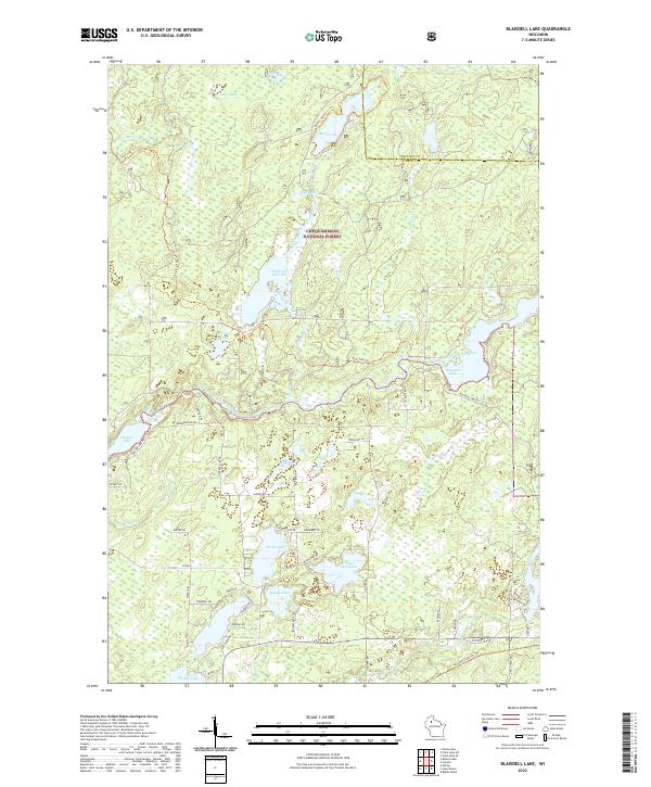
2022 Map of Blaisdell Lake
USGS Topo · Published 2022About this map
The Chequamegon National Forest defines the character of this Sawyer County landscape, where the East Fork Chippewa River meanders through a dense network of glacial lakes and wetlands. This waterway connects several prominent bodies of water, including Blaisdell Lake and Fishtrap Lake, which have historically served as focal points for northwoods recreation and local travel. The presence of numerous named trails, such as the Black Lake Trl and Fish Trap Trl, highlights the area's transition from early timber access to modern forest management and conservation.
Find a feature on this map
60 named features on this map. Tap any name to fly to it.
Don’t see what you’re looking for? This feature index may not catch every label — zoom into the map to look around manually.
Map Details
Editions of this 2022 Blaisdell Lake Map
This is the sole edition of this map. No revisions or reprints were ever made.
Other maps of this area

1942 · Clam Lake
USGS Topo · 1:48,000

1943 · Namekagon Lake
USGS Topo · 1:48,000

1944 · Draper
USGS Topo · 1:48,000

1944 · Radisson
USGS Topo · 1:48,000

1945 · Namekagon Lake
USGS Topo · 1:48,000

1945 · Clam Lake
USGS Topo · 1:48,000

1947 · Draper
USGS Topo · 1:48,000

1949 · Radisson
USGS Topo · 1:48,000

1953 · Ashland
USGS Topo · 1:250,000

1953 · Rice Lake
USGS Topo · 1:250,000