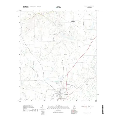
2020 Map of Blakely North
USGS Topo · Published 2020About this map
The Early County Courthouse serves as the central landmark for Blakely, situated at the southern end of this southwest Georgia landscape. The map captures the transition from the structured street grid of the county seat to the sprawling agricultural and timber lands of the northern interior. Small, historically significant settlements like Colomokee and Ferrell Crossroads are positioned along a network of rural routes, including Indian Mounds Rd and Flea Hop Rd, reflecting the area's long-standing land use patterns.
Find a feature on this map
101 named features on this map. Tap any name to fly to it.
Don’t see what you’re looking for? This feature index may not catch every label — zoom into the map to look around manually.
Map Details
Editions of this 2020 Blakely North Map
This is the sole edition of this map. No revisions or reprints were ever made.
Other maps of this area

1953 · Dothan
USGS Topo · 1:250,000

1954 · Dothan
USGS Topo · 1:250,000

1955 · Dothan
USGS Topo · 1:250,000

1969 · Fort Gaines
USGS Topo · 1:24,000

1970 · Columbia NE
USGS Topo · 1:24,000

1970 · Columbia
USGS Topo · 1:24,000

1973 · Blakely North
USGS Topo · 1:24,000

1973 · Bancroft
USGS Topo · 1:24,000

1973 · Blakely South
USGS Topo · 1:24,000
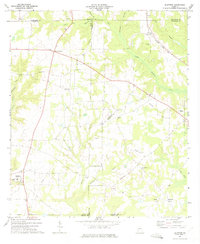
1973 · Bluffton
USGS Topo · 1:24,000