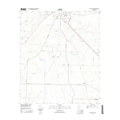
2014 Map of Blakely South
USGS Topo · Published 2014About this map
Blakely serves as the focal point of this southwestern Georgia landscape, where the town grid transitions into a network of rural routes and watercourses. The area is defined by a dense system of creeks, including the westward-flowing Sawhatchee Cr and Coheelee Cr, which drain the agricultural lands of Early County. To the south, the terrain becomes more sparsely populated near the settlement of Centerville, marked by the intersection of Us 27 and local roads like Three Notch Rd.
Find a feature on this map
56 named features on this map. Tap any name to fly to it.
Don’t see what you’re looking for? This feature index may not catch every label — zoom into the map to look around manually.
Map Details
Editions of this 2014 Blakely South Map
This is the sole edition of this map. No revisions or reprints were ever made.
Other maps of this area

1953 · Dothan
USGS Topo · 1:250,000

1954 · Dothan
USGS Topo · 1:250,000

1955 · Dothan
USGS Topo · 1:250,000

1970 · Gordon
USGS Topo · 1:24,000

1970 · Columbia NE
USGS Topo · 1:24,000

1970 · Columbia
USGS Topo · 1:24,000

1973 · Blakely North
USGS Topo · 1:24,000

1973 · Bancroft
USGS Topo · 1:24,000

1973 · Blakely South
USGS Topo · 1:24,000

1973 · Hentown
USGS Topo · 1:24,000