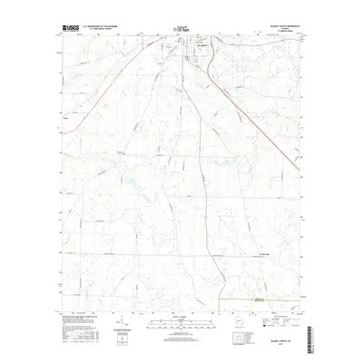
2017 Map of Blakely South
USGS Topo · Published 2017About this map
Blakely serves as the focal point for this Southwest Georgia landscape, where the town street grid transitions into a countryside defined by agricultural tracts and a network of creeks. The southern reaches of the city extend toward Pine Lawn Gardens and Blakely Cem, while smaller settlements like Luke and Centerville anchor the outlying rural areas. A significant topographical feature is the Early Co Miller Co border, which bisects the southern portion of the sheet. The terrain is intricately drained by numerous waterways including Sawhatchee Cr, Coheelee Cr, and Weaver Cr. The presence of Lake Clara and Bridges Lake indicates managed water resources amidst the rolling elevations. Historical transportation routes such as Three Notch Rd and Old Lucile Rd provide a clear view of how local travel evolved from early settlement patterns to contemporary county road systems.
Find a feature on this map
63 named features on this map. Tap any name to fly to it.
Don’t see what you’re looking for? This feature index may not catch every label — zoom into the map to look around manually.
Map Details
Editions of this 2017 Blakely South Map
This is the sole edition of this map. No revisions or reprints were ever made.
Other maps of this area

1953 · Dothan
USGS Topo · 1:250,000

1954 · Dothan
USGS Topo · 1:250,000

1955 · Dothan
USGS Topo · 1:250,000

1970 · Gordon
USGS Topo · 1:24,000

1970 · Columbia NE
USGS Topo · 1:24,000

1970 · Columbia
USGS Topo · 1:24,000

1973 · Blakely North
USGS Topo · 1:24,000

1973 · Bancroft
USGS Topo · 1:24,000

1973 · Blakely South
USGS Topo · 1:24,000

1973 · Hentown
USGS Topo · 1:24,000