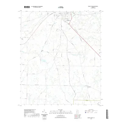
2020 Map of Blakely South
USGS Topo · Published 2020About this map
The southern reaches of Blakely serve as the focal point for this Southwest Georgia landscape, where the street grid of the county seat transitions into a network of rural routes and watercourses. The local geography is defined by a series of south-flowing streams, including Sawhatchee Cr and Blue Cr, which drain toward the Early and Miller county line. Smaller communities and residential developments like Centerville and Pine Lawn Gardens dot the landscape, while the Blakely Cem sits at the northern edge near the convergence of Columbia Rd and Chattahoochee Ave. Historic transportation corridors like Three Notch Rd and the bypass of Bus 27 illustrate the region's long-standing role as a hub for regional transit. Notable water features such as Bridges Lake and Lake Clara provide clear landmarks among the wooded creek bottoms of Sheffield Mill Cr and Wamble Cr.
Find a feature on this map
56 named features on this map. Tap any name to fly to it.
Don’t see what you’re looking for? This feature index may not catch every label — zoom into the map to look around manually.
Map Details
Editions of this 2020 Blakely South Map
This is the sole edition of this map. No revisions or reprints were ever made.
Other maps of this area

1953 · Dothan
USGS Topo · 1:250,000

1954 · Dothan
USGS Topo · 1:250,000

1955 · Dothan
USGS Topo · 1:250,000

1970 · Gordon
USGS Topo · 1:24,000

1970 · Columbia NE
USGS Topo · 1:24,000

1970 · Columbia
USGS Topo · 1:24,000

1973 · Blakely North
USGS Topo · 1:24,000

1973 · Bancroft
USGS Topo · 1:24,000

1973 · Blakely South
USGS Topo · 1:24,000

1973 · Hentown
USGS Topo · 1:24,000