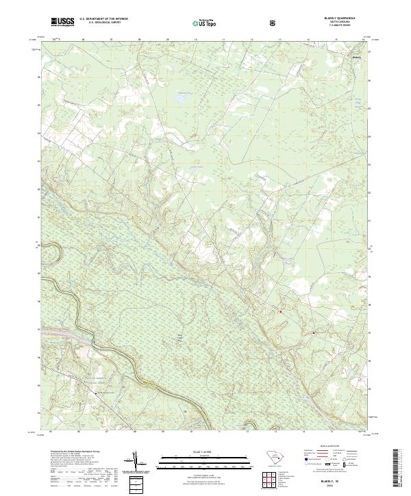
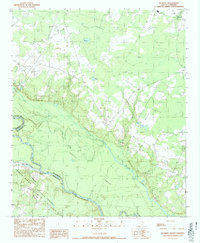
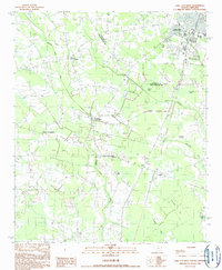
2024 Map of Blakely
USGS Topo · Published 2024This historical map portrays the area of Blakely in 2024, primarily covering Williamsburg County as well as portions of Berkeley County. Featuring a scale of 1:24000, this map provides a highly detailed snapshot of the terrain, roads, buildings, counties, and historical landmarks in the Blakely region at the time. Published in 2024, it is the sole known edition of this map.
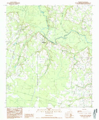
Map Details
Editions of this 2024 Blakely Map
This is the sole edition of this map. No revisions or reprints were ever made.
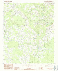
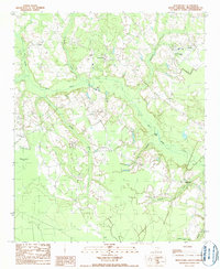
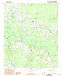
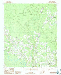
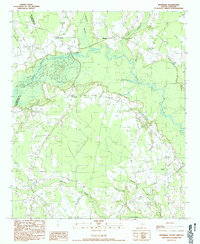
Historical Maps of The 90 Through Time
23 maps found
1943 Henry
Williamsburg County, SC
1943 Trio
Williamsburg County, SC
1946 Indiantown
Williamsburg County, SC
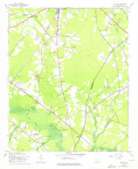
1990 Blakely
Williamsburg County, SC
1990 Fowler
Williamsburg County, SC
1990 Indiantown
Williamsburg County, SC
1990 Kellehan Crossroads
Williamsburg County, SC

1990 Lake City East
Williamsburg County, SC
1990 Lake City West
Williamsburg County, SC
1990 Salters
Williamsburg County, SC
1990 Warsaw
Williamsburg County, SC
1990 Workman
Williamsburg County, SC
2024 Blakely
Williamsburg County, SC
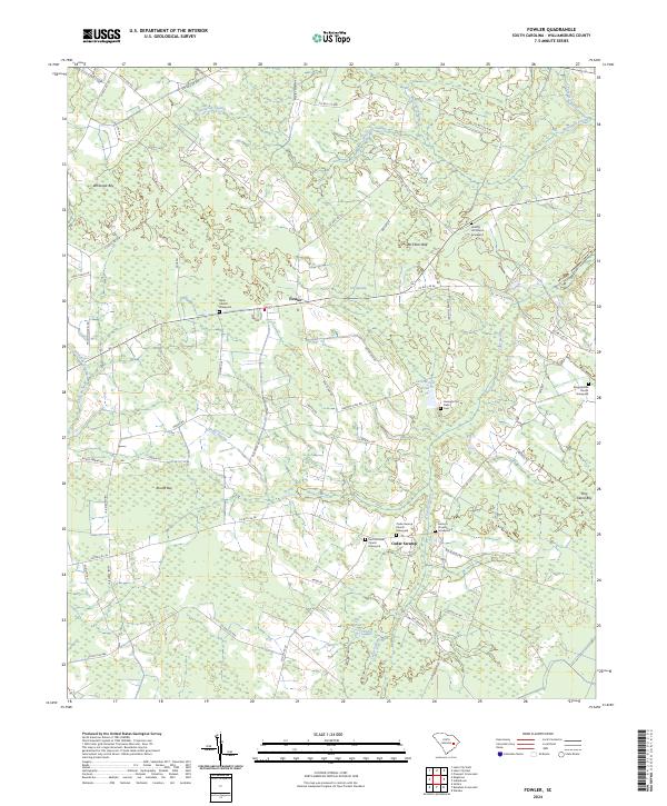
2024 Fowler
Williamsburg County, SC
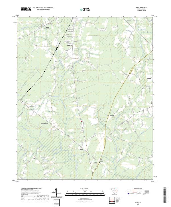
2024 Henry
Williamsburg County, SC
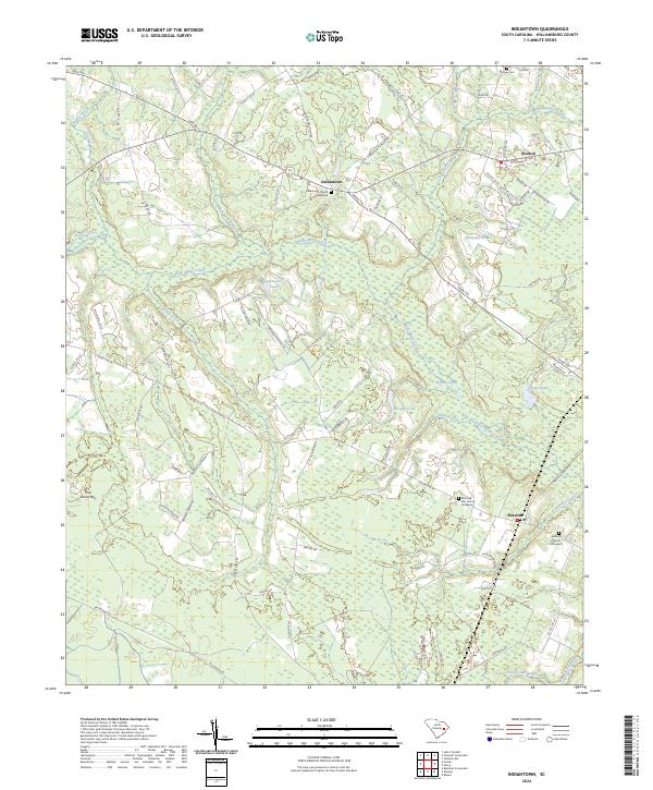
2024 Indiantown
Williamsburg County, SC
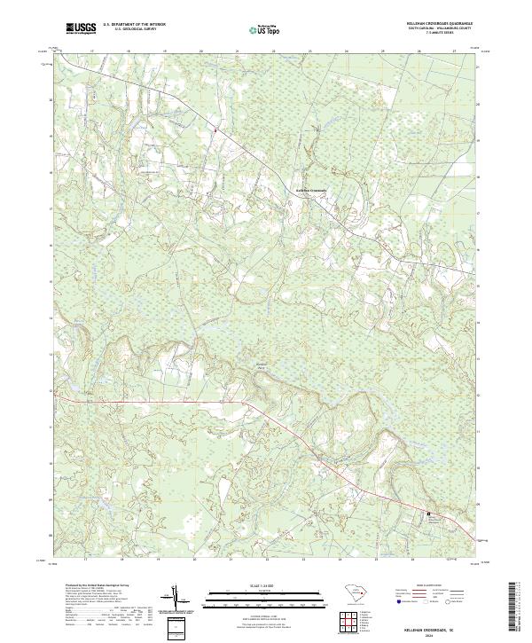
2024 Kellehan Crossroads
Williamsburg County, SC
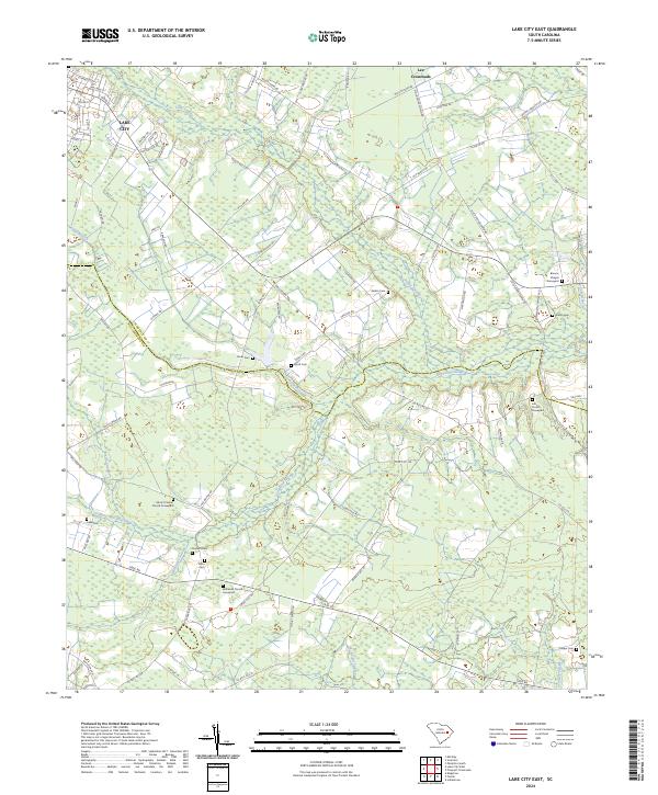
2024 Lake City East
Williamsburg County, SC
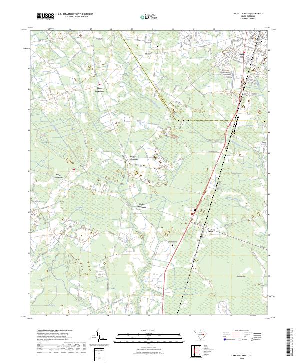
2024 Lake City West
Williamsburg County, SC
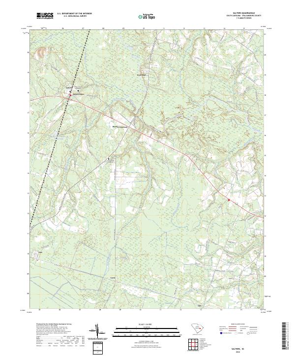
2024 Salters
Williamsburg County, SC
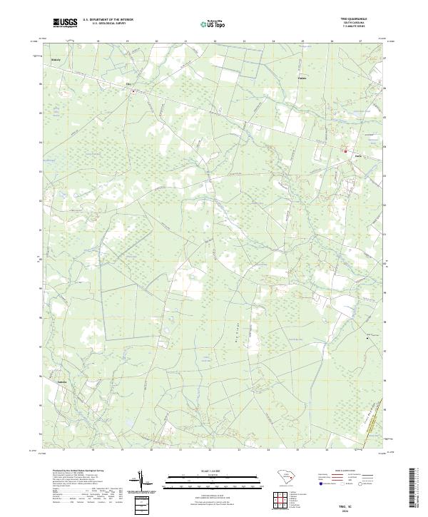
2024 Trio
Williamsburg County, SC
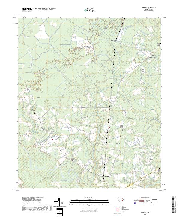
2024 Warsaw
Williamsburg County, SC
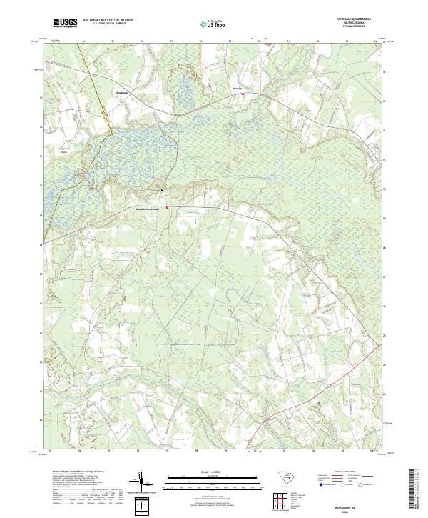
2024 Workman
Williamsburg County, SC