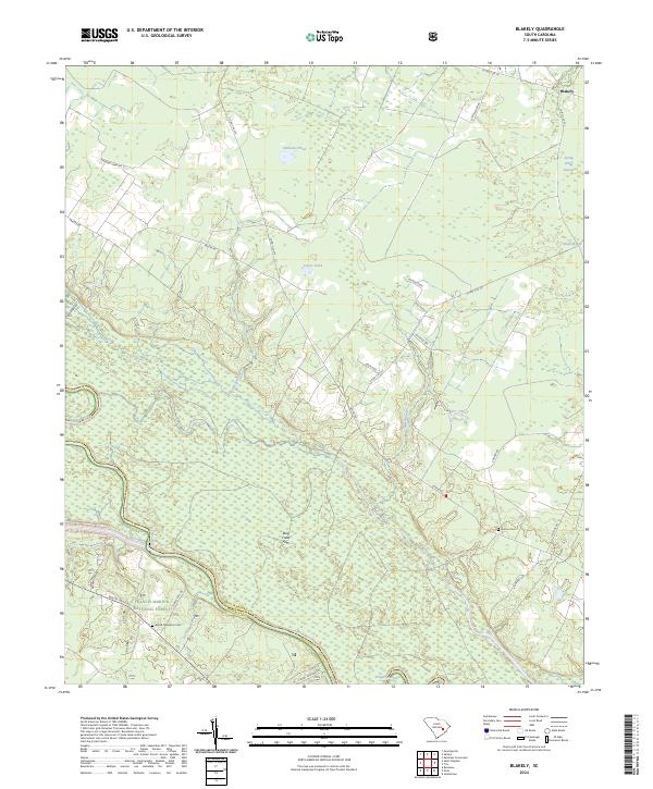
2024 Map of Blakely
USGS Topo · Published 2024About this map
Francis Marion National Forest occupies the southwest corner of this map, where the Santee River forms a natural boundary between Williamsburg and Berkeley counties. The landscape is defined by its low-country hydrology, featuring numerous named depressions and wetlands such as Ricefield Bay and Dog Creek Flats. The presence of Betaw Plantation Cem near the riverbank speaks to the long-standing agricultural history of these wetlands, which often supported rice cultivation in earlier centuries.
Find a feature on this map
31 named features on this map. Tap any name to fly to it.
Don’t see what you’re looking for? This feature index may not catch every label — zoom into the map to look around manually.
Map Details
Editions of this 2024 Blakely Map
This is the sole edition of this map. No revisions or reprints were ever made.
Other maps of this area

1943 · Trio
USGS Topo · 1:24,000

1943 · Jamestown
USGS Topo · 1:24,000

1943 · Bonneau
USGS Topo · 1:62,500

1946 · Kingstree
USGS Topo · 1:62,500

1946 · Indiantown
USGS Topo · 1:62,500

1949 · Georgetown
USGS Topo · 1:250,000

1967 · Georgetown
USGS Topo · 1:250,000

1974 · Georgetown
USGS Topo · 1:250,000

1986 · Georgetown
USGS Topo · 1:100,000

1986 · Kingstree
USGS Topo · 1:100,000