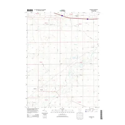
2013 Map of Blakeslee
USGS Topo · Published 2013About this map
The Saint Joseph River meanders through this portion of Williams County, shaping a landscape defined by small-scale agriculture and established local landmarks. The village of Blakeslee serves as the primary settlement, situated near the Marvin Thiel Field Airport. This corner of Ohio maintains a dense network of country roads, such as Co Road H and Co Road 6, which connect scattered residential clusters and various historical burial grounds.
Find a feature on this map
54 named features on this map. Tap any name to fly to it.
Don’t see what you’re looking for? This feature index may not catch every label — zoom into the map to look around manually.
Map Details
Editions of this 2013 Blakeslee Map
This is the sole edition of this map. No revisions or reprints were ever made.
Other maps of this area

1914 · Pioneer
USGS Topo · 1:62,500

1914 · Bryan
USGS Topo · 1:62,500

1939 · Clear Lake
USGS Topo · 1:24,000

1940 · Metz
USGS Topo · 1:24,000

1940 · Clear Lake
USGS Topo · 1:24,000

1943 · Bryan
USGS Topo · 1:62,500

1944 · Pioneer
USGS Topo · 1:62,500

1953 · Fort Wayne
USGS Topo · 1:250,000

1956 · Fort Wayne
USGS Topo · 1:250,000

1958 · Butler East
USGS Topo · 1:24,000