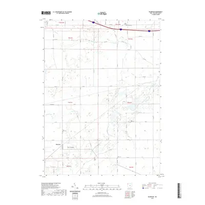
2019 Map of Blakeslee
USGS Topo · Published 2019About this map
The village of Blakeslee anchors the southwest corner of this landscape, where the local grid of county roads meets the flowing path of the Saint Joseph River. This corner of Williams County is defined by a dense network of rural infrastructure and burial grounds that speak to generations of settlement, including Saint Joseph Cem, Union Chapel Cem, and the West Buffalo Cem near the river's bend. The hydrology of the region is intricately mapped, showing how drainage features like Tamarack Ditch and Bear Cr feed into the larger river system. Near the northern boundary, Eagle Cr meanders past Heritage Cem and Eagle Creek Cem, while local recreation is represented by Marvin Thiel Field on the outskirts of the primary settlement. The map captures a meticulously organized agricultural township structure at the end of the second decade of the 21st century.
Find a feature on this map
47 named features on this map. Tap any name to fly to it.
Don’t see what you’re looking for? This feature index may not catch every label — zoom into the map to look around manually.
Map Details
Editions of this 2019 Blakeslee Map
This is the sole edition of this map. No revisions or reprints were ever made.
Other maps of this area

1914 · Pioneer
USGS Topo · 1:62,500

1914 · Bryan
USGS Topo · 1:62,500

1939 · Clear Lake
USGS Topo · 1:24,000

1940 · Metz
USGS Topo · 1:24,000

1940 · Clear Lake
USGS Topo · 1:24,000

1943 · Bryan
USGS Topo · 1:62,500

1944 · Pioneer
USGS Topo · 1:62,500

1953 · Fort Wayne
USGS Topo · 1:250,000

1956 · Fort Wayne
USGS Topo · 1:250,000

1958 · Butler East
USGS Topo · 1:24,000