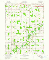
1961 Map of Blakeslee
USGS Topo · Published 1963About this map
The St Joseph River meanders through the northwest corner of Ohio, defining the agricultural landscape of Williams County. During the early 1960s, the village of Blakeslee (Blakesley Sta) served as a central hub for the surrounding townships of Florence, Superior, and St Joseph. This era is marked by the presence of the Wabash RR, which parallels the river and connects local commerce to broader networks.
Find a feature on this map
28 named features on this map. Tap any name to fly to it.
Don’t see what you’re looking for? This feature index may not catch every label — zoom into the map to look around manually.
Map Details
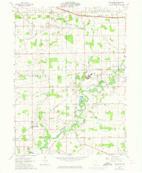
Editions of this 1961 Blakeslee Map
2 editions found
Other maps of this area

1914 · Pioneer
USGS Topo · 1:62,500

1914 · Bryan
USGS Topo · 1:62,500

1939 · Clear Lake
USGS Topo · 1:24,000

1940 · Metz
USGS Topo · 1:24,000

1940 · Clear Lake
USGS Topo · 1:24,000

1943 · Bryan
USGS Topo · 1:62,500

1944 · Pioneer
USGS Topo · 1:62,500

1953 · Fort Wayne
USGS Topo · 1:250,000

1956 · Fort Wayne
USGS Topo · 1:250,000

1958 · Butler East
USGS Topo · 1:24,000