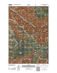
2011 Map of Blalock Mountain
USGS Topo · Published 2011About this map
Blalock Mountain rises above a landscape defined by its deep canyons and the complex drainage system of the South Fork Walla Walla River. In this part of Umatilla County, the topography is carved by numerous waterways including Couse Creek, Bear Creek, and East Fork Coyote Creek. Human presence is evidenced by a network of specialized mountain sites like Tollgate Chateau, Blue Mountain Camp, and McDougall Camp, alongside the isolated Demaris Cabin to the northeast. Transportation through this terrain relies on routes like Lincton Mountain Rd and S Fork Walla Walla River Rd, which follow the natural contours of the land. Water management is visible at Stone Hill Reservoir and Weston Pond, supporting the area's recreation and resource needs. The map also highlights specific access points for mountain activity, such as the Morning Creek Sno-Park and the steep descent of Flume Canyon.
Find a feature on this map
33 named features on this map. Tap any name to fly to it.
Don’t see what you’re looking for? This feature index may not catch every label — zoom into the map to look around manually.
Map Details
Editions of this 2011 Blalock Mountain Map
This is the sole edition of this map. No revisions or reprints were ever made.
Other maps of this area

1953 · Pendleton
USGS Topo · 1:250,000

1956 · Pendleton
USGS Topo · 1:250,000

1963 · Big Meadows
USGS Topo · 1:24,000

1963 · Andies Prairie
USGS Topo · 1:24,000

1963 · Bingham Springs
USGS Topo · 1:24,000

1963 · Tollgate
USGS Topo · 1:24,000

1963 · Blalock Mountain
USGS Topo · 1:24,000

1963 · Peterson Ridge
USGS Topo · 1:24,000

1964 · Bowlus Hill
USGS Topo · 1:24,000

1964 · Weston Mountain
USGS Topo · 1:24,000