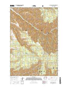
2017 Map of Blalock Mountain
USGS Topo · Published 2017About this map
Blalock Mountain rises as a prominent landmark in this northeastern Oregon landscape, where the high-altitude terrain of the Blue Mountains meets the Umatilla National Forest. The map documents a complex network of forest roads and land management boundaries, including t5n r37e, t4n r37e, and t3n r37e. Water management is central to the area's geography, evidenced by the Dorothy Ditch in the northwest and the Stone Hill Reservoir situated near the intersection of several local ranch roads.
Find a feature on this map
54 named features on this map. Tap any name to fly to it.
Don’t see what you’re looking for? This feature index may not catch every label — zoom into the map to look around manually.
Map Details
Editions of this 2017 Blalock Mountain Map
This is the sole edition of this map. No revisions or reprints were ever made.
Other maps of this area

1953 · Pendleton
USGS Topo · 1:250,000

1956 · Pendleton
USGS Topo · 1:250,000

1963 · Big Meadows
USGS Topo · 1:24,000

1963 · Andies Prairie
USGS Topo · 1:24,000

1963 · Bingham Springs
USGS Topo · 1:24,000

1963 · Tollgate
USGS Topo · 1:24,000

1963 · Blalock Mountain
USGS Topo · 1:24,000

1963 · Peterson Ridge
USGS Topo · 1:24,000

1964 · Bowlus Hill
USGS Topo · 1:24,000

1964 · Weston Mountain
USGS Topo · 1:24,000