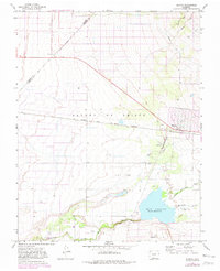
1965 Map of Blanca
USGS Topo · Published 1982About this map
Blanca sits at the intersection of rail and road in this 1965 survey of the San Luis Valley, updated with revisions from the late 1970s. The town is a focal point for the Denver and Rio Grande Western railroad, which cuts a straight line across the valley floor. The landscape is defined by the massive Sangre de Cristo Grant Boundary and the essential water management systems required for high-altitude agriculture, including the Garland Ditch and an Aqueduct system leading toward the Basaltic Hills.
Find a feature on this map
21 named features on this map. Tap any name to fly to it.
Don’t see what you’re looking for? This feature index may not catch every label — zoom into the map to look around manually.
Map Details
Editions of this 1965 Blanca Map
3 editions found
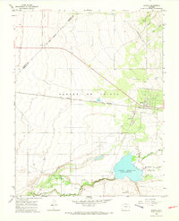
Other maps of this area

1889 · Huerfano Park
USGS Topo · 1:125,000

1892 · Huerfano Park
USGS Topo · 1:125,000

1954 · Trinidad
USGS Topo · 1:250,000

1955 · Trinidad
USGS Topo · 1:250,000

1958 · Trinidad
USGS Topo · 1:250,000

1959 · Trinidad
USGS Topo · 1:250,000

1965 · Blanca
USGS Topo · 1:24,000

1965 · Baldy
USGS Topo · 1:24,000

1965 · Lasauses
USGS Topo · 1:24,000

1965 · Blanca SE
USGS Topo · 1:24,000