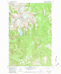
1965 Map of Blanca Lake
USGS Topo · Published 1982About this map
Garland Mineral Springs and the surrounding high-country terrain dominate this 1965 survey of the Mt Baker-Snoqualmie National Forest. The map documents a landscape defined by dramatic elevation changes and a legacy of mountain activity, ranging from the high-altitude Columbia Glacier and Monte Cristo Peak to the lower reaches of the North Fork Skykomish River. A network of historic footpaths, including the Glacier Basin Trail, Quartz Creek Trail, and West Cady Ridge Trail, connect prominent features like Blanca Lake and Virgin Lake. The presence of Mines near the northern boundary and Ruins at Curry Gap provide evidence of earlier extractive and recreational history, while the San Juan Campground and Gravel Pit near the river forks illustrate more modern land uses and infrastructure at the time of the survey.
Find a feature on this map
46 named features on this map. Tap any name to fly to it.
Don’t see what you’re looking for? This feature index may not catch every label — zoom into the map to look around manually.
Map Details
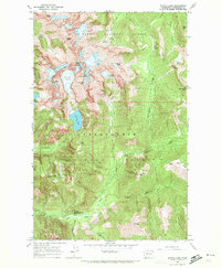
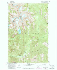
Editions of this 1965 Blanca Lake Map
3 editions found
Other maps of this area

1899 · Glacier Peak
USGS Topo · 1:125,000

1901 · Glacier Peak
USGS Topo · 1:125,000

1902 · Skykomish
USGS Topo · 1:125,000

1905 · Skykomish
USGS Topo · 1:125,000

1950 · Glacier Peak
USGS Topo · 1:62,500

1955 · Concrete
USGS Topo · 1:250,000

1957 · Wenatchee
USGS Topo · 1:250,000

1958 · Concrete
USGS Topo · 1:250,000

1962 · Concrete
USGS Topo · 1:250,000

1965 · Captain Point
USGS Topo · 1:24,000