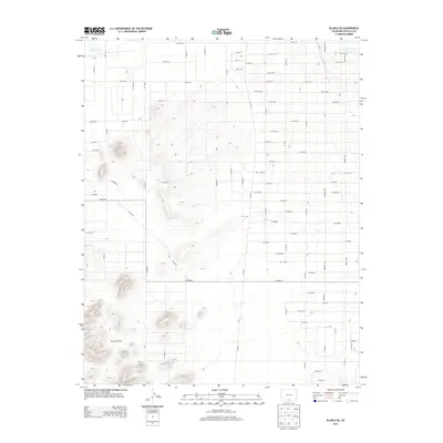
2013 Map of Blanca SE
USGS Topo · Published 2013About this map
The San Luis Hills dominate the southwestern portion of this high-altitude landscape in Costilla County, rising abruptly from the surrounding basin floor. This area is defined by its rigorous grid-based agricultural and transport structure, where an extensive network of county roads like Co Rd-106 and Co Rd-104 intersect the plains north of the hills. Water management is central to the land use here, visible in the course of Trinchera Cr and the engineered Trinchera Canal which diverts water for irrigation. The terrain is marked by gradual elevation changes across the valley floor, segmented into rectangular blocks that reflect the organized settlement patterns of the San Luis Valley. While the hills offer a topographic break, the primary human footprint is found in the meticulous road system, including Co Hwy-82, which facilitates movement through this rural expanse.
Find a feature on this map
61 named features on this map. Tap any name to fly to it.
Don’t see what you’re looking for? This feature index may not catch every label — zoom into the map to look around manually.
Map Details
Editions of this 2013 Blanca SE Map
This is the sole edition of this map. No revisions or reprints were ever made.
Other maps of this area

1954 · Trinidad
USGS Topo · 1:250,000

1955 · Trinidad
USGS Topo · 1:250,000

1958 · Trinidad
USGS Topo · 1:250,000

1959 · Trinidad
USGS Topo · 1:250,000

1965 · Blanca
USGS Topo · 1:24,000

1965 · Baldy
USGS Topo · 1:24,000

1965 · Lasauses
USGS Topo · 1:24,000

1965 · Blanca SE
USGS Topo · 1:24,000

1967 · San Luis
USGS Topo · 1:24,000

1967 · Fort Garland SW
USGS Topo · 1:24,000