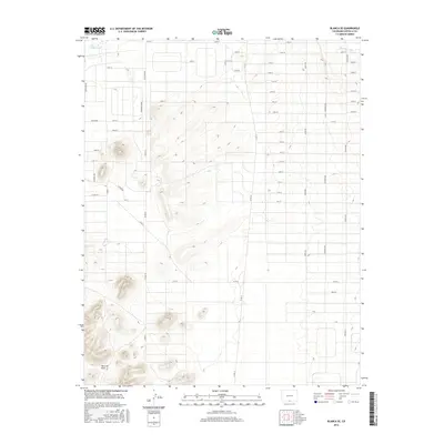
2016 Map of Blanca SE
USGS Topo · Published 2016About this map
San Luis Hills dominate the southern landscape of this Costilla County region, where the high desert terrain meets a highly structured grid of modern rural development. The area is defined by an extensive network of numbered roads, including 33rd St and Co Rd 10, which stretch across the plains in a precise geometric pattern that suggests late-twentieth-century land subdivision. To the north, water management is evident through the path of Trinchera Cr and the Trinchera Canal, vital lifelines for agriculture in this arid environment. The map details the transition from the distinct topographic relief of the hills to the flat, subdivided expanses that characterize much of the San Luis Valley's eastern edge near the Rio Grande county line.
Find a feature on this map
44 named features on this map. Tap any name to fly to it.
Don’t see what you’re looking for? This feature index may not catch every label — zoom into the map to look around manually.
Map Details
Editions of this 2016 Blanca SE Map
This is the sole edition of this map. No revisions or reprints were ever made.
Other maps of this area

1954 · Trinidad
USGS Topo · 1:250,000

1955 · Trinidad
USGS Topo · 1:250,000

1958 · Trinidad
USGS Topo · 1:250,000

1959 · Trinidad
USGS Topo · 1:250,000

1965 · Blanca
USGS Topo · 1:24,000

1965 · Baldy
USGS Topo · 1:24,000

1965 · Lasauses
USGS Topo · 1:24,000

1965 · Blanca SE
USGS Topo · 1:24,000

1967 · San Luis
USGS Topo · 1:24,000

1967 · Fort Garland SW
USGS Topo · 1:24,000