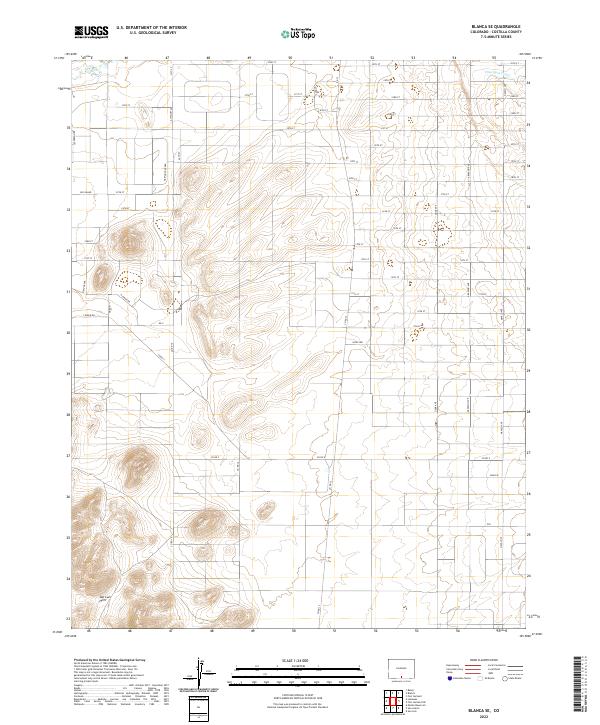
2022 Map of Blanca SE
USGS Topo · Published 2022About this map
The San Luis Hills dominate the southern landscape of this Costilla County area, revealing a complex topography of volcanic rises and high-desert basins. This 2022 survey illustrates a rigid grid of rural roads, such as Co Rd X and Co Rd 12, which partition the dry terrain into expansive sections typical of the San Luis Valley's land management history. In the northeastern corner, the Trinchera Canal cuts across the contours, marking a vital piece of water infrastructure in this arid region. The network of named avenues and streets, including Alyssium Ave and Jefferson Rd, indicates a planned rural development pattern where few traditional town centers exist, but the infrastructure for land access is clearly established.
Find a feature on this map
44 named features on this map. Tap any name to fly to it.
Don’t see what you’re looking for? This feature index may not catch every label — zoom into the map to look around manually.
Map Details
Editions of this 2022 Blanca SE Map
This is the sole edition of this map. No revisions or reprints were ever made.
Other maps of this area

1954 · Trinidad
USGS Topo · 1:250,000

1955 · Trinidad
USGS Topo · 1:250,000

1958 · Trinidad
USGS Topo · 1:250,000

1959 · Trinidad
USGS Topo · 1:250,000

1965 · Blanca
USGS Topo · 1:24,000

1965 · Baldy
USGS Topo · 1:24,000

1965 · Lasauses
USGS Topo · 1:24,000

1965 · Blanca SE
USGS Topo · 1:24,000

1967 · San Luis
USGS Topo · 1:24,000

1967 · Fort Garland SW
USGS Topo · 1:24,000