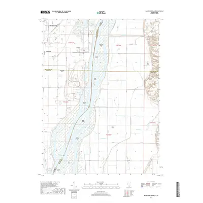
2018 Map of Blanchard Island
USGS Topo · Published 2018About this map
The Mississippi River forms the central spine of this landscape, dividing the riverfront of Fruitland in Iowa from the lowlands of Illinois. This 2018 update reveals a complex network of channels and chutes, including the Bogus Chute and Barkis Island Chute, which separate numerous river features such as Blanchard Island, Kilpeck Island, and Bogus Island. The interior of Muscatine Island is marked by agricultural development and drainage systems like Frieden Ditch and Hampton Ditch, reflecting the long-standing irrigation and land-management practices required in this fertile floodplain.
Find a feature on this map
99 named features on this map. Tap any name to fly to it.
Don’t see what you’re looking for? This feature index may not catch every label — zoom into the map to look around manually.
Map Details
Editions of this 2018 Blanchard Island Map
This is the sole edition of this map. No revisions or reprints were ever made.
Other maps of this area

1916 · Edgington
USGS Topo · 1:62,500

1935 · Keithsburg
USGS Topo · 1:48,000

1938 · Edgington
USGS Topo · 1:62,500

1941 · Keithsburg
USGS Topo · 1:62,500

1946 · Wapello
USGS Topo · 1:62,500

1948 · Muscatine
USGS Topo · 1:62,500

1949 · Wapello
USGS Topo · 1:62,500

1953 · Toolesboro
USGS Topo · 1:24,000

1953 · Blanchard Island
USGS Topo · 1:24,000
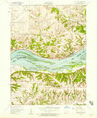
1953 · Illinois City
USGS Topo · 1:24,000