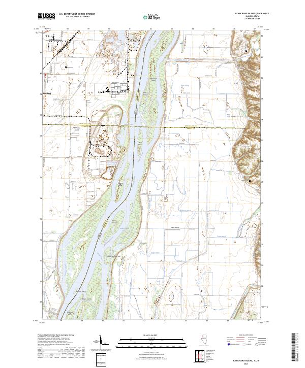
2024 Map of Blanchard Island
USGS Topo · Published 2024About this map
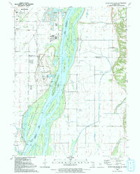
The Mississippi River defines the heart of this landscape, carving a complex network of islands and chutes along the border of Iowa and Illinois. Significant wetlands and protected habitats are preserved within the Port Louisa National Wildlife Refuge, which spans a large portion of the river bottomlands. On the Iowa side, the settlement of Fruitland sits amidst a grid of rural roads such as Wiggens Rd and Drake Rd, while the larger center of Muscatine is visible at the northern edge.
Find a feature on this map
72 named features on this map. Tap any name to fly to it.
Don’t see what you’re looking for? This feature index may not catch every label — zoom into the map to look around manually.
Map Details
Editions of this 2024 Blanchard Island Map
This is the sole edition of this map. No revisions or reprints were ever made.
Historical Maps of Fruitland Through Time
12 maps found
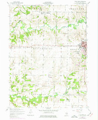
1953 Aledo East
Mercer County, IL
1953 Aledo West
Mercer County, IL
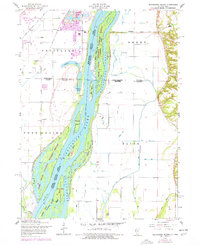
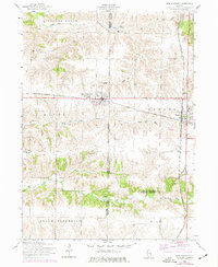
1953 Blanchard Island
Mercer County, IL
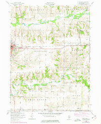
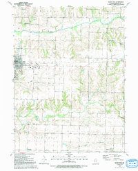
1953 New Windsor
Mercer County, IL
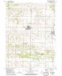
1991 Blanchard Island
Mercer County, IL
1991 New Windsor
Mercer County, IL
1992 Aledo East
Mercer County, IL
1992 Aledo West
Mercer County, IL

2024 Aledo East
Mercer County, IL
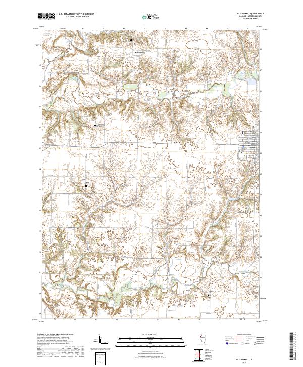
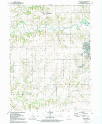
2024 Aledo West
Mercer County, IL
2024 Blanchard Island
Mercer County, IL
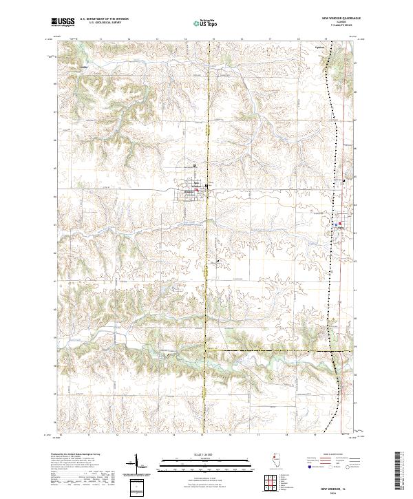
2024 New Windsor
Mercer County, IL