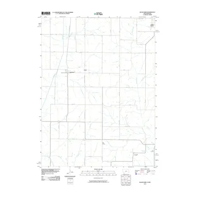
2010 Map of Blanchard
USGS Topo · Published 2010About this map
Blanchard sits at the heart of this rural landscape on the Iowa-Missouri border, its small-town character defined by the Blanchard Post Office and nearby Blanchard Cemetery. To the northeast, the settlement of College Springs overlooks a terrain drained by West Mill Creek and East Mill Creek, while the Tarkio River and its tributary, Long Branch, cut through the western fields. The map reveals a high concentration of burial sites across the countryside, including Grove Cemetery and High Prairie Cemetery, reflecting the area's deep-rooted family histories. The agricultural grid is shaped by thoroughfares like Nodaway Atchison Rd and Burr Oak Rd, which connect isolated farms to the regional hubs. This survey provides a clear look at the persistent rural organization of Page County, where the placement of Six Corners Cemetery and Elmo Cemetery marks the enduring boundaries of local communities.
Find a feature on this map
42 named features on this map. Tap any name to fly to it.
Don’t see what you’re looking for? This feature index may not catch every label — zoom into the map to look around manually.
Map Details
Editions of this 2010 Blanchard Map
This is the sole edition of this map. No revisions or reprints were ever made.
Other maps of this area

1939 · Tarkio
USGS Topo · 1:62,500

1939 · Farragut
USGS Topo · 1:62,500

1939 · Skidmore
USGS Topo · 1:62,500

1940 · Tarkio
USGS Topo · 1:62,500

1940 · Farragut
USGS Topo · 1:62,500

1940 · Coin
USGS Topo · 1:62,500

1941 · Tarkio
USGS Topo · 1:62,500

1941 · Skidmore
USGS Topo · 1:62,500

1942 · Skidmore
USGS Topo · 1:62,500

1943 · Coin
USGS Topo · 1:62,500