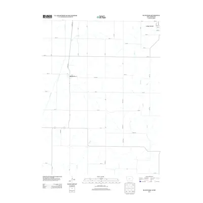
2013 Map of Blanchard
USGS Topo · Published 2013About this map
Blanchard and College Springs anchor this rural landscape along the Iowa-Missouri border, where the terrain is defined by the winding course of the Tarkio River. The grid-like agricultural road network, featuring routes such as Co Hwy-M60 and Hackberry Ave, reveals a pattern of section-line development typical of the Midwest. Small waterways like Long Br, W Mill Cr, and E Mill Cr break up the cultivated fields, creating a series of small valleys. In College Springs, the street plan is more concentrated, naming residential corridors like Spring St and School St. This survey provides a clear look at the late-twentieth-century rural infrastructure before further modernization, documenting the exact placement of local roads and farm-to-market routes that have sustained these communities for generations.
Find a feature on this map
48 named features on this map. Tap any name to fly to it.
Don’t see what you’re looking for? This feature index may not catch every label — zoom into the map to look around manually.
Map Details
Editions of this 2013 Blanchard Map
This is the sole edition of this map. No revisions or reprints were ever made.
Other maps of this area

1939 · Tarkio
USGS Topo · 1:62,500

1939 · Farragut
USGS Topo · 1:62,500

1939 · Skidmore
USGS Topo · 1:62,500

1940 · Tarkio
USGS Topo · 1:62,500

1940 · Farragut
USGS Topo · 1:62,500

1940 · Coin
USGS Topo · 1:62,500

1941 · Tarkio
USGS Topo · 1:62,500

1941 · Skidmore
USGS Topo · 1:62,500

1942 · Skidmore
USGS Topo · 1:62,500

1943 · Coin
USGS Topo · 1:62,500