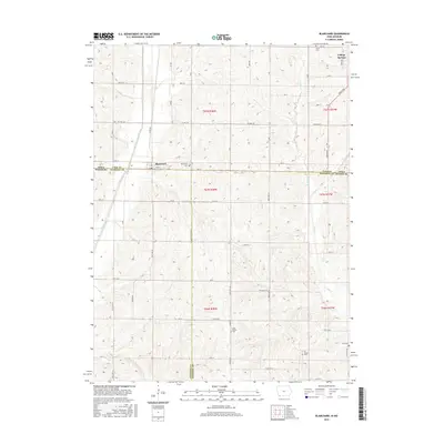
2015 Map of Blanchard
USGS Topo · Published 2015About this map
Blanchard and College Springs anchor this 2015 survey of the fertile borderlands where Iowa meets Missouri. The landscape is defined by the north-south flow of the Tarkio River and its various tributaries, including Long Br and Mill Cr. This map documents a strictly rural agricultural corridor, where the grid of county roads like Co Hwy J64 and State Hwy M connects isolated farmsteads across Page, Atchison, and Nodaway counties.
Find a feature on this map
59 named features on this map. Tap any name to fly to it.
Don’t see what you’re looking for? This feature index may not catch every label — zoom into the map to look around manually.
Map Details
Editions of this 2015 Blanchard Map
This is the sole edition of this map. No revisions or reprints were ever made.
Other maps of this area

1939 · Tarkio
USGS Topo · 1:62,500

1939 · Farragut
USGS Topo · 1:62,500

1939 · Skidmore
USGS Topo · 1:62,500

1940 · Tarkio
USGS Topo · 1:62,500

1940 · Farragut
USGS Topo · 1:62,500

1940 · Coin
USGS Topo · 1:62,500

1941 · Tarkio
USGS Topo · 1:62,500

1941 · Skidmore
USGS Topo · 1:62,500

1942 · Skidmore
USGS Topo · 1:62,500

1943 · Coin
USGS Topo · 1:62,500