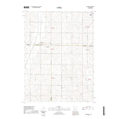
2018 Map of Blanchard
USGS Topo · Published 2018About this map
Blanchard sits directly on the Iowa-Missouri state line, serving as a focal point for this rural borderland. The landscape is defined by the winding course of the Tarkio River to the west and the drainage network of Mill Creek, including its east and west branches. Further north, the settlement of College Springs anchors the upper corner of the map. This area is a patchwork of small-town centers and agricultural land, with several historic burial grounds such as Blanchard Cem and High Prairie Cem located along the township roads.
Find a feature on this map
41 named features on this map. Tap any name to fly to it.
Don’t see what you’re looking for? This feature index may not catch every label — zoom into the map to look around manually.
Map Details
Editions of this 2018 Blanchard Map
This is the sole edition of this map. No revisions or reprints were ever made.
Other maps of this area

1939 · Tarkio
USGS Topo · 1:62,500

1939 · Farragut
USGS Topo · 1:62,500

1939 · Skidmore
USGS Topo · 1:62,500

1940 · Tarkio
USGS Topo · 1:62,500

1940 · Farragut
USGS Topo · 1:62,500

1940 · Coin
USGS Topo · 1:62,500

1941 · Tarkio
USGS Topo · 1:62,500

1941 · Skidmore
USGS Topo · 1:62,500

1942 · Skidmore
USGS Topo · 1:62,500

1943 · Coin
USGS Topo · 1:62,500