Loading...
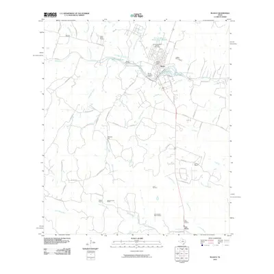
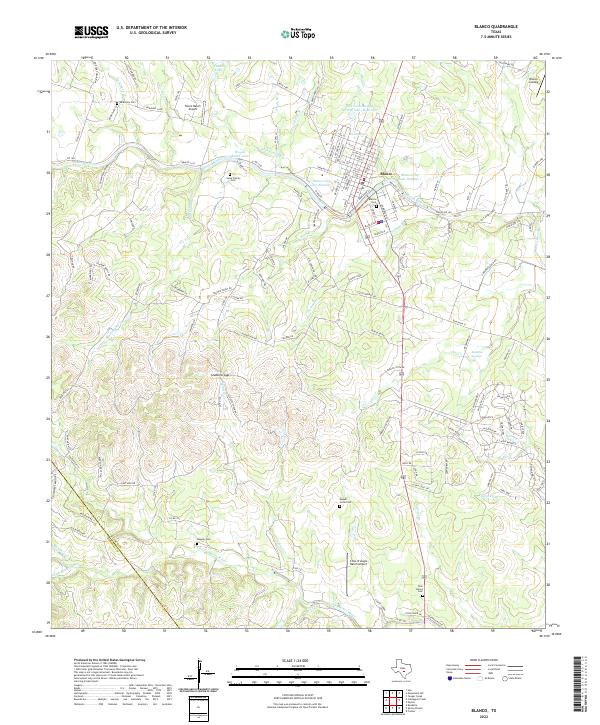
Loading map...1963 Map of Blanco
USGS Topo · Published 1965About this map
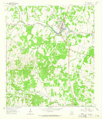
Blanco serves as the focal point of this Hill Country landscape, situated where the Blanco River turns south toward Blanco State Park. The town center shows a traditional grid with a High Sch and local utility markers like a Water Tank and Pump Sta. To the south, the terrain becomes more complex as the river meets tributaries such as Durham Branch and Koch Branch, eventually reaching the southern boundary near the Little Blanco River.
Find a feature on this map
31 named features on this map. Tap any name to fly to it.
Don’t see what you’re looking for? This feature index may not catch every label — zoom into the map to look around manually.
Map Details
Date Portrayed1963
Date Published1965
PublisherU.S. Geological Survey
Map TypeTopographic
Scale1:24,000
Physical Dimensions23 x 26.9 inches
Editions of this 1963 Blanco Map
This is the sole edition of this map. No revisions or reprints were ever made.
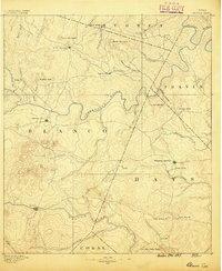
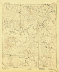
Historical Maps of Blanco Through Time
8 maps found
Featured Locations
Source Details
SourceU.S. Geological Survey
CopyrightPublic Domain