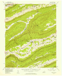
1956 Map of Bland
USGS Topo · Published 1958About this map
Bland serves as the central hub of this mid-century survey, situated at the confluence of Town Creek and Walker Creek within the Jefferson National Forest. The landscape is defined by the heavy ridgelines of Walker Mountain and Rich Mountain, which dictate the placement of communities like Bastian and Hicksville. A prominent stretch of the Appalachian Trail winds across the southern ridges, passing near Original Stony Fork Ch and the State Police Repeater Sta.
Find a feature on this map
100 named features on this map. Tap any name to fly to it.
Don’t see what you’re looking for? This feature index may not catch every label — zoom into the map to look around manually.
Map Details
Editions of this 1956 Bland Map
2 editions found
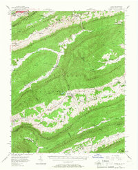
Other maps of this area

1887 · Pocahontas
USGS Topo · 1:125,000

1889 · Hillsville
USGS Topo · 1:125,000

1889 · Wytheville
USGS Topo · 1:125,000

1890 · Dublin
USGS Topo · 1:125,000

1891 · Pocahontas
USGS Topo · 1:125,000

1891 · Dublin
USGS Topo · 1:125,000

1892 · Hillsville
USGS Topo · 1:125,000

1892 · Wytheville
USGS Topo · 1:125,000

1894 · Pocahontas
USGS Topo · 1:125,000

1895 · Pocahontas
USGS Topo · 1:125,000