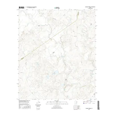
2016 Map of Blanket Springs
USGS Topo · Published 2016About this map
Pecan Bayou snakes through this portion of Central Texas, defining the local landscape as it carves a wide Horseshoe Bend in the northwest. The area is characterized by its agricultural and ranching heritage, evidenced by numerous named stock tanks and water bodies such as Williams Lake, Childress Lake, and the numbered basins of Clayton Lake Number 2 North and John Graves Lake Number 3. These water sources are vital for the rural holdings that dominate the terrain, including the Vaughan Ranch Airport.
Find a feature on this map
35 named features on this map. Tap any name to fly to it.
Don’t see what you’re looking for? This feature index may not catch every label — zoom into the map to look around manually.
Map Details
Editions of this 2016 Blanket Springs Map
This is the sole edition of this map. No revisions or reprints were ever made.
Other maps of this area

1885 · San Saba
USGS Topo · 1:125,000

1889 · Brownwood
USGS Topo · 1:125,000

1894 · Brownwood
USGS Topo · 1:125,000

1894 · San Saba
USGS Topo · 1:125,000

1925 · Brownwood 3-b
USGS Topo · 1:48,000

1925 · San Saba 2-a
USGS Topo · 1:48,000

1925 · Brownwood 3-d
USGS Topo · 1:48,000

1925 · San Saba 1-b
USGS Topo · 1:48,000

1925 · San Saba 2-b
USGS Topo · 1:48,000

1925 · Brownwood 4-c
USGS Topo · 1:48,000