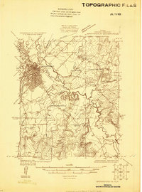
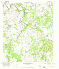
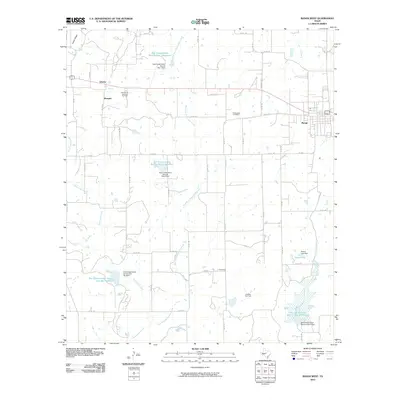
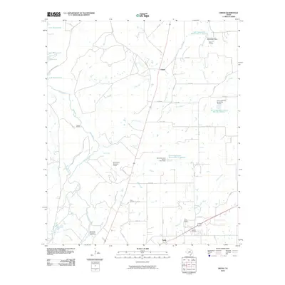
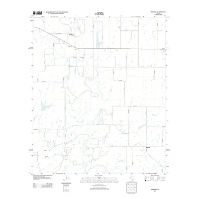
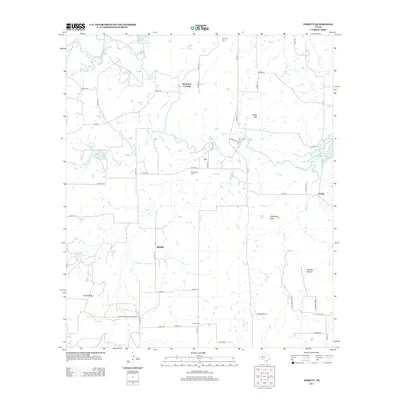
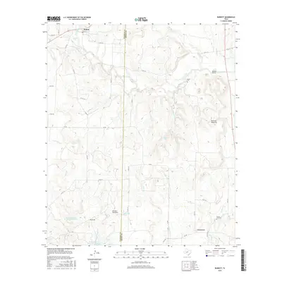
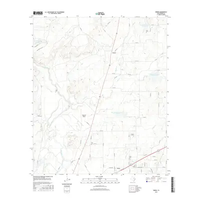
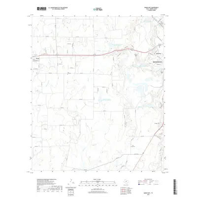
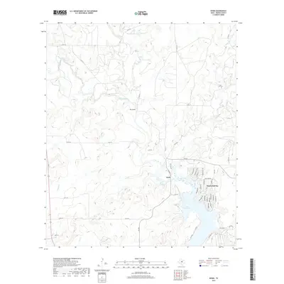
1925 Map of Brownwood 3-b
USGS Topo · Published 1925About this map
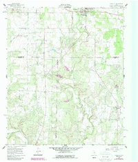
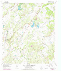
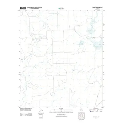
The city of Brownwood serves as a thriving rail and transit hub in the mid-1920s, defined by the convergence of the St Louis San Francisco and Fort Worth and the Gulf Colorado and Santa Fe railroads. The town's grid expands toward the banks of Adams Br and Pecan Bayou, while the surrounding countryside maintains a network of rural education and worship. This document represents an early use of aerial photography from the Army Air Service to refine topographic details. Notable landmarks like the Country Club suggest the era's social development, while established country institutions such as Steppes Creek Church, Delaware School, and Woodland Heights School anchor the outlying agricultural communities. The terrain transitions from the developed streets into the meandering drainage of Lewis Creek and the southern Lewis Valley.
Find a feature on this map
21 named features on this map. Tap any name to fly to it.
Don’t see what you’re looking for? This feature index may not catch every label — zoom into the map to look around manually.
Map Details
Editions of this 1925 Brownwood 3-b Map
This is the sole edition of this map. No revisions or reprints were ever made.
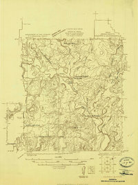
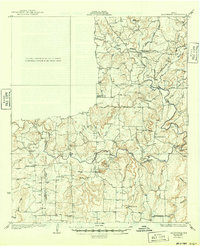
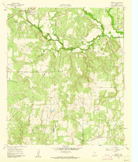
Historical Maps of Brownwood Through Time
71 maps found

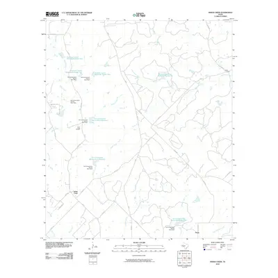
1924 Brownwood Reservoir Site
Brown County, TX
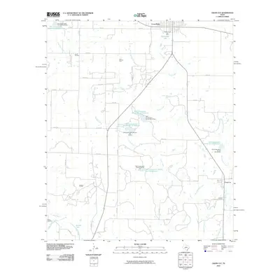
1924 Coleman 1-a
Brown County, TX
1925 Brownwood 3-b
Brown County, TX
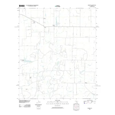
1927 Grosvenor
Brown County, TX
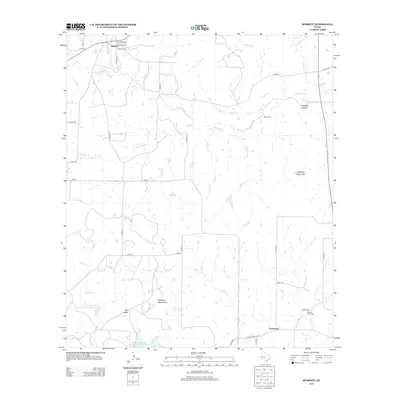
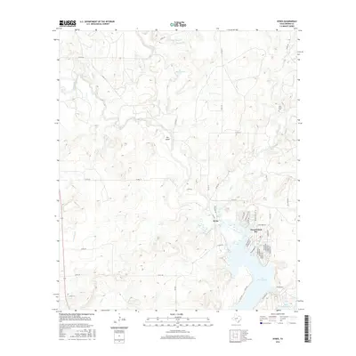
1960 Burkett
Brown County, TX
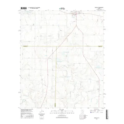
1960 Cross Cut
Brown County, TX
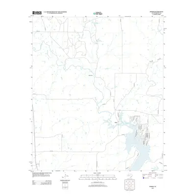
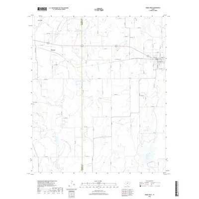
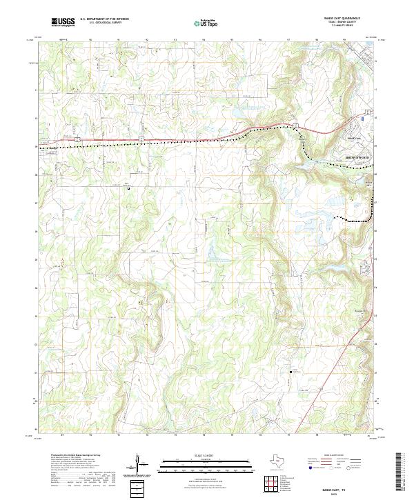
1962 Bangs East
Brown County, TX
1962 Bangs West
Brown County, TX
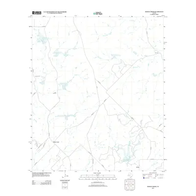
1962 Trickham
Brown County, TX
1963 Brooksmith
Brown County, TX
1966 Owens
Brown County, TX
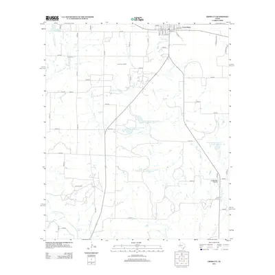
1969 Byrds
Brown County, TX
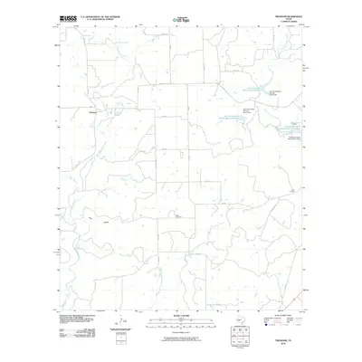
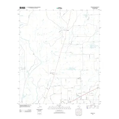
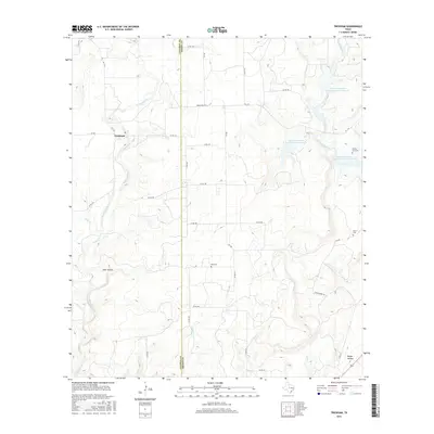
1969 Pioneer
Brown County, TX
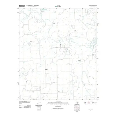
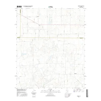
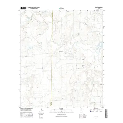
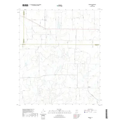
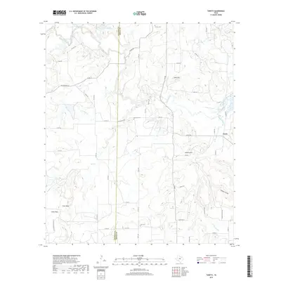
1969 Thrifty
Brown County, TX
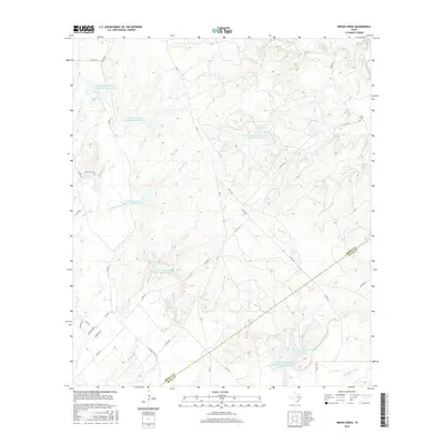
1979 Indian Creek
Brown County, TX
1997 Indian Creek
Brown County, TX
2010 Bangs East
Brown County, TX
2010 Bangs West
Brown County, TX
2010 Brookesmith
Brown County, TX
2010 Burkett
Brown County, TX
2010 Byrds
Brown County, TX
2010 Cross Cut
Brown County, TX
2010 Indian Creek
Brown County, TX
2010 Owens
Brown County, TX
2010 Pioneer
Brown County, TX
2010 Thrifty
Brown County, TX
2010 Trickham
Brown County, TX
2012 Cross Cut
Brown County, TX
2012 Indian Creek
Brown County, TX
2012 Pioneer
Brown County, TX
2013 Bangs East
Brown County, TX
2013 Bangs West
Brown County, TX
2013 Brookesmith
Brown County, TX
2013 Burkett
Brown County, TX
2013 Byrds
Brown County, TX
2013 Owens
Brown County, TX
2013 Thrifty
Brown County, TX
2013 Trickham
Brown County, TX
2016 Bangs East
Brown County, TX
2016 Bangs West
Brown County, TX
2016 Brookesmith
Brown County, TX
2016 Burkett
Brown County, TX
2016 Byrds
Brown County, TX
2016 Cross Cut
Brown County, TX
2016 Indian Creek
Brown County, TX
2016 Owens
Brown County, TX
2016 Pioneer
Brown County, TX
2016 Thrifty
Brown County, TX
2016 Trickham
Brown County, TX
2019 Bangs East
Brown County, TX
2019 Bangs West
Brown County, TX
2019 Brookesmith
Brown County, TX
2019 Burkett
Brown County, TX
2019 Byrds
Brown County, TX
2019 Cross Cut
Brown County, TX
2019 Indian Creek
Brown County, TX
2019 Owens
Brown County, TX
2019 Pioneer
Brown County, TX
2019 Thrifty
Brown County, TX
2019 Trickham
Brown County, TX
2022 Bangs East
Brown County, TX
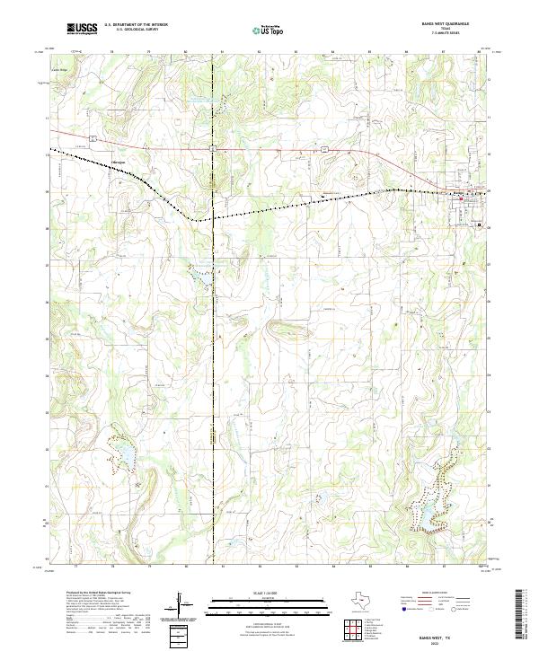
2022 Bangs West
Brown County, TX
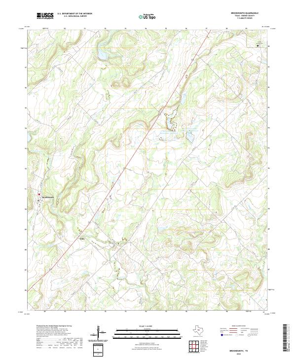
2022 Brookesmith
Brown County, TX
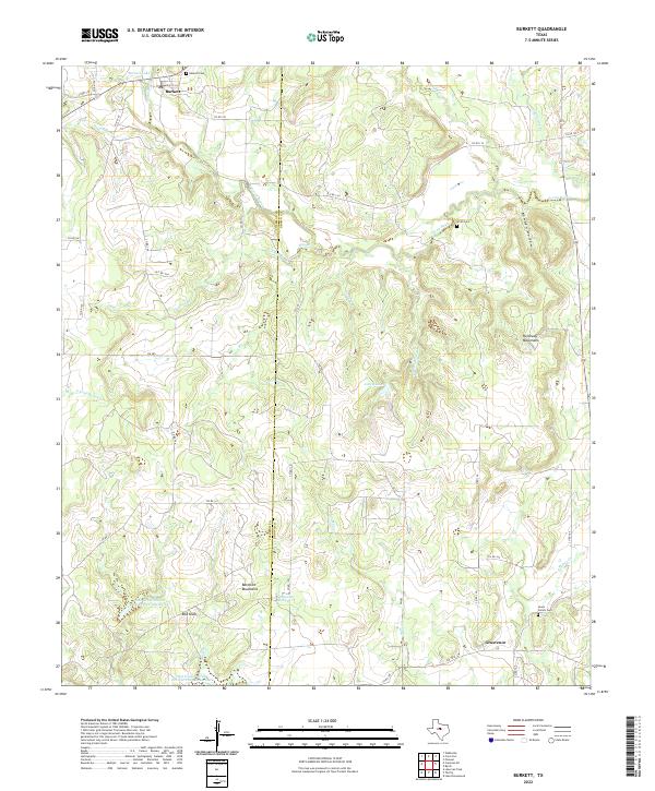
2022 Burkett
Brown County, TX
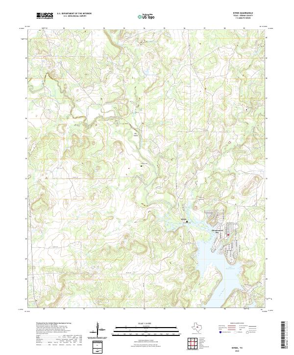
2022 Byrds
Brown County, TX
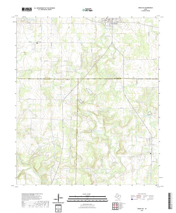
2022 Cross Cut
Brown County, TX
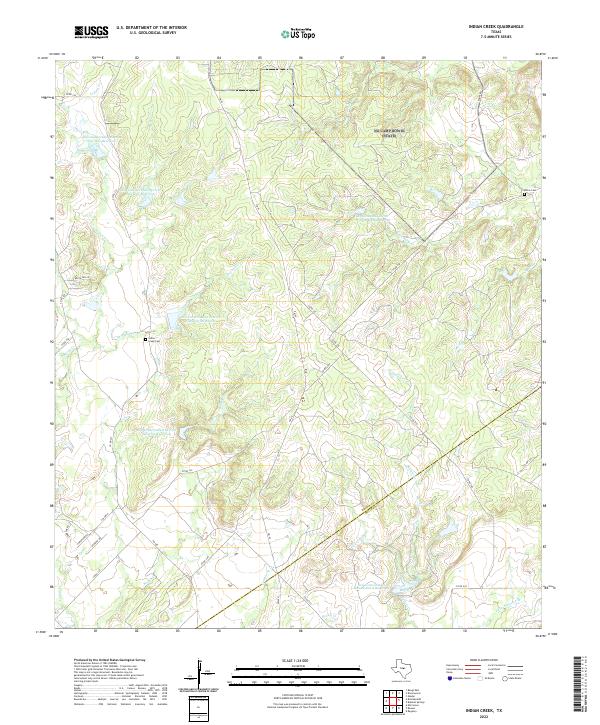
2022 Indian Creek
Brown County, TX
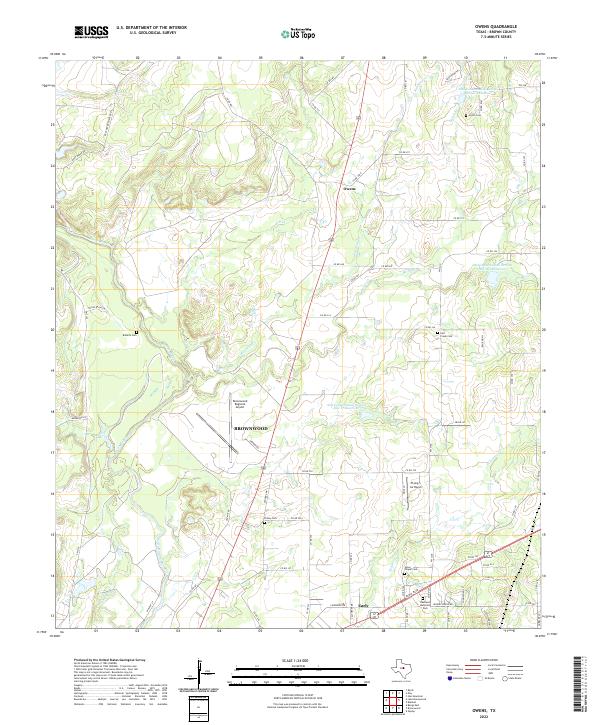
2022 Owens
Brown County, TX
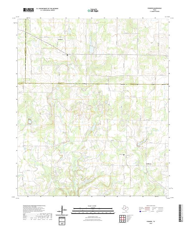
2022 Pioneer
Brown County, TX
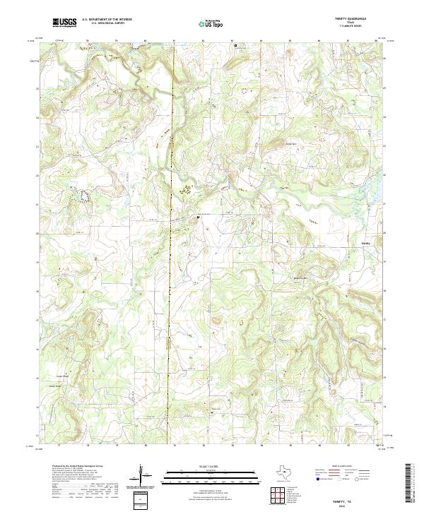
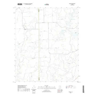
2022 Thrifty
Brown County, TX
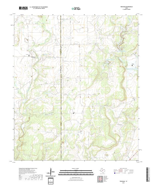
2022 Trickham
Brown County, TX