
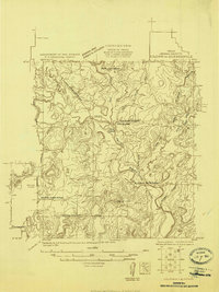
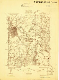
1924 Map of Brownwood Reservoir Site
USGS Topo · Published 1924About this map
The Board of Water Engineers and USGS surveyed these Central Texas creek valleys in the mid-1920s to plan the eventual inundation for a reservoir site. The landscape is defined by the winding course of Pecan Bayou and its many tributaries, including Jim Ned Creek, Paint Creek, and Panther Creek. The topography reveals a rural network of river crossings and high ground landmarks such as Keeler Knob and The Pinnacle before the local geography was permanently altered by damming.
Find a feature on this map
20 named features on this map. Tap any name to fly to it.
Don’t see what you’re looking for? This feature index may not catch every label — zoom into the map to look around manually.
Map Details
Editions of this 1924 Brownwood Reservoir Site Map
This is the sole edition of this map. No revisions or reprints were ever made.
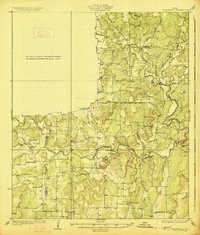
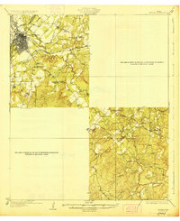
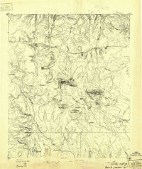
Other maps of this area
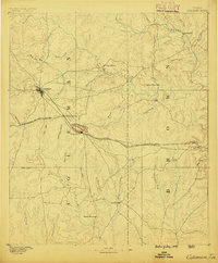
1887 · Coleman
USGS Topo · 1:125,000

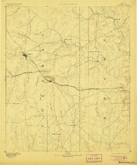
1889 · Brownwood
USGS Topo · 1:125,000
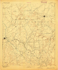
1889 · Coleman
USGS Topo · 1:125,000

1894 · Eastland
USGS Topo · 1:125,000
1894 · Brownwood
USGS Topo · 1:125,000
1924 · Coleman 1-a
USGS Topo · 1:48,000
1925 · Brownwood 3-b
USGS Topo · 1:48,000
1927 · Grosvenor
USGS Topo · 1:62,500
1928 · Zephyr
USGS Topo · 1:62,500
1931 · Baird
USGS Topo · 1:125,000