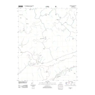
2011 Map of Bledsoe
USGS Topo · Published 2011About this map
Greasy Creek and the Laurel Fork define the drainage patterns of this eastern Kentucky landscape, where small settlements like Bledsoe and Lewis Creek occupy narrow valley floors. The map reveals a high density of small family burial grounds, including the Napier Cemetery, Jackson Cemetery, and Green Hill Cemetery, which are often located on the lower slopes above the bottomlands. These sites, accessed by roads such as Napier Rd and Jackson Cemetery Rd, provide a window into the ancestral roots of the local community.
Find a feature on this map
86 named features on this map. Tap any name to fly to it.
Don’t see what you’re looking for? This feature index may not catch every label — zoom into the map to look around manually.
Map Details
Editions of this 2011 Bledsoe Map
This is the sole edition of this map. No revisions or reprints were ever made.
Other maps of this area

1887 · Jonesville
USGS Topo · 1:125,000

1891 · Hazard
USGS Topo · 1:125,000

1891 · Jonesville
USGS Topo · 1:125,000

1903 · Harlan
USGS Topo · 1:48,000

1916 · Cornettsville
USGS Topo · 1:62,500

1916 · Harlan
USGS Topo · 1:48,000

1916 · Nolansburg
USGS Topo · 1:48,000

1916 · Hyden
USGS Topo · 1:48,000

1919 · Nolansburg
USGS Topo · 1:62,500

1919 · Hyden
USGS Topo · 1:62,500