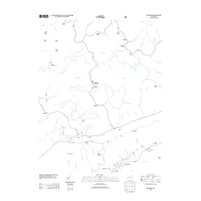
2013 Map of Bledsoe
USGS Topo · Published 2013About this map
Lewis Creek and Napier sit within the hollows and mountain gaps of Harlan County, where the settlement pattern follows the drainage of Greasy Cr and Laurel Fork. The landscape is defined by its deep connectivity to the terrain, with family-named hollows like Jericho Hollow, Eastep Hollow, and Richland Hollow providing the primary geographical framework for local residents. The distribution of numerous small burial grounds, such as Huff Cem and Green Hill Cem, alongside the Harlan County Forestry Camp, points to a long-established rural community structure in this part of Kentucky. Transport is dictated by the geology, with routes like W HWY 221 navigating through Hazard Gap, while more localized access is provided by family-named tracks like Saylor Ln and Mosley Ln. This 2013 survey provides a detailed view of the small settlements at Bledsoe and Rosspoint, showing their continued reliance on the narrow corridors between Gray Mountain and English Spur.
Find a feature on this map
101 named features on this map. Tap any name to fly to it.
Don’t see what you’re looking for? This feature index may not catch every label — zoom into the map to look around manually.
Map Details
Editions of this 2013 Bledsoe Map
This is the sole edition of this map. No revisions or reprints were ever made.
Other maps of this area

1887 · Jonesville
USGS Topo · 1:125,000

1891 · Hazard
USGS Topo · 1:125,000

1891 · Jonesville
USGS Topo · 1:125,000

1903 · Harlan
USGS Topo · 1:48,000

1916 · Cornettsville
USGS Topo · 1:62,500

1916 · Harlan
USGS Topo · 1:48,000

1916 · Nolansburg
USGS Topo · 1:48,000

1916 · Hyden
USGS Topo · 1:48,000

1919 · Nolansburg
USGS Topo · 1:62,500

1919 · Hyden
USGS Topo · 1:62,500