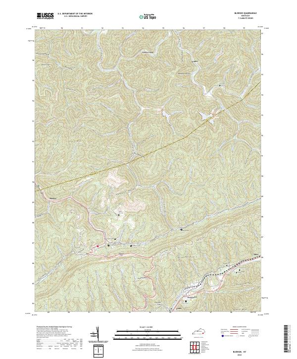
2022 Map of Bledsoe
USGS Topo · Published 2022About this map
Pine Mountain dominates the central landscape of this Harlan County quadrangle, a ridge defining the transit and settlement patterns of the region. Along the northern slopes, the community of Napier sits near the headwaters of Greasy Creek, while the southern side features the settlements of Rosspoint, Gatun, and Bledsoe. This area serves as a significant genealogical record, preserving numerous family burial grounds including Huff Cem, Napier Cem, and Middleton Cem. The geography is characterized by deep hollows such as Opossum Hollow and Buckheart Hollow, with the Little Shepherd Trl winding along the high ridgeline. Critical mountain passes like Hazard Gap and Peters Gap provided historical transit through the steep terrain, connecting isolated valley communities. The map highlights the intersection of mountain life and natural barriers, where Straight Cr and the Middle Fork of the Kentucky River begin their winding paths through the Cumberland Plateau.
Find a feature on this map
108 named features on this map. Tap any name to fly to it.
Don’t see what you’re looking for? This feature index may not catch every label — zoom into the map to look around manually.
Map Details
Editions of this 2022 Bledsoe Map
This is the sole edition of this map. No revisions or reprints were ever made.
Other maps of this area

1887 · Jonesville
USGS Topo · 1:125,000

1891 · Hazard
USGS Topo · 1:125,000

1891 · Jonesville
USGS Topo · 1:125,000

1903 · Harlan
USGS Topo · 1:48,000

1916 · Cornettsville
USGS Topo · 1:62,500

1916 · Harlan
USGS Topo · 1:48,000

1916 · Nolansburg
USGS Topo · 1:48,000

1916 · Hyden
USGS Topo · 1:48,000

1919 · Nolansburg
USGS Topo · 1:62,500

1919 · Hyden
USGS Topo · 1:62,500