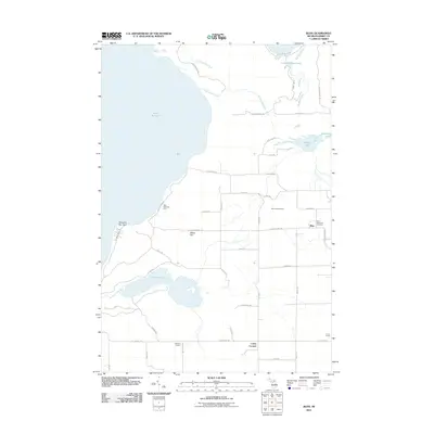
2011 Map of Bliss
USGS Topo · Published 2011About this map
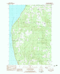
Lake Michigan defines the western edge of this coastal landscape, where the jagged projection of Sturgeon Bay Point creates a distinct shoreline profile near the northern tip of Michigan's Lower Peninsula. The map documents the rural character of Bliss Township, centered on the small settlement of Bliss and its adjacent Bliss Township Cemetery. The interior is marked by a network of local roads that connect historic crossroads such as Websters Corners, Canby Corners, and Cetus Corner.
Find a feature on this map
51 named features on this map. Tap any name to fly to it.
Don’t see what you’re looking for? This feature index may not catch every label — zoom into the map to look around manually.
Map Details
Editions of this 2011 Bliss Map
This is the sole edition of this map. No revisions or reprints were ever made.
Other maps of this area

1955 · Cheboygan
USGS Topo · 1:250,000

1958 · Cheboygan
USGS Topo · 1:250,000

1958 · Cross Village
USGS Topo · 1:62,500

1958 · Pellston
USGS Topo · 1:62,500

1964 · Big Stone Bay
USGS Topo · 1:24,000
1964 · McGulpin Point
USGS Topo · 1:24,000
1982 · Levering
USGS Topo · 1:25,000

1982 · Pellston
USGS Topo · 1:25,000
1982 · Bliss
USGS Topo · 1:25,000
1982 · Good Hart
USGS Topo · 1:25,000