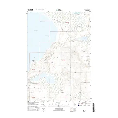
2017 Map of Bliss
USGS Topo · Published 2017About this map
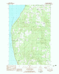
Wilderness State Park dominates the northern reaches of this coastal Emmet County landscape, where the waters of Lake Michigan meet a complex network of wetlands and inland lakes. The small settlement of Bliss sits on the eastern edge of the quadrangle, serving as a focal point for the surrounding rural township. Local history and genealogy researchers will find the Bliss Township Cem located near the intersection of Munger Rd and Pleasantview Rd.
Find a feature on this map
57 named features on this map. Tap any name to fly to it.
Don’t see what you’re looking for? This feature index may not catch every label — zoom into the map to look around manually.
Map Details
Editions of this 2017 Bliss Map
This is the sole edition of this map. No revisions or reprints were ever made.
Other maps of this area

1955 · Cheboygan
USGS Topo · 1:250,000

1958 · Cheboygan
USGS Topo · 1:250,000

1958 · Cross Village
USGS Topo · 1:62,500

1958 · Pellston
USGS Topo · 1:62,500

1964 · Big Stone Bay
USGS Topo · 1:24,000
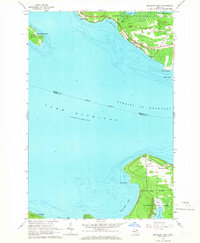
1964 · McGulpin Point
USGS Topo · 1:24,000
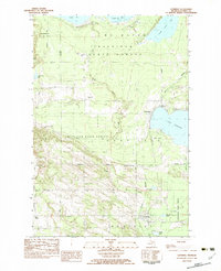
1982 · Levering
USGS Topo · 1:25,000

1982 · Pellston
USGS Topo · 1:25,000
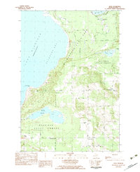
1982 · Bliss
USGS Topo · 1:25,000
1982 · Good Hart
USGS Topo · 1:25,000