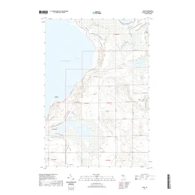
2019 Map of Bliss
USGS Topo · Published 2019About this map
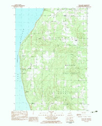
Wilderness State Park anchors the northern coastline of this Emmet County landscape, where the waters of Lake Michigan meet the complex wetlands and inland waters of Sturgeon Bay. The small settlement of Bliss serves as the local hub in the east, characterized by its grid of country roads and the Bliss Township Cem. This 2019 survey illustrates the dense network of recreational paths that cross the terrain, including the N Country National Scenic Trail and the N Country Trail-Iron Belle Trail.
Find a feature on this map
62 named features on this map. Tap any name to fly to it.
Don’t see what you’re looking for? This feature index may not catch every label — zoom into the map to look around manually.
Map Details
Editions of this 2019 Bliss Map
This is the sole edition of this map. No revisions or reprints were ever made.
Other maps of this area

1955 · Cheboygan
USGS Topo · 1:250,000

1958 · Cheboygan
USGS Topo · 1:250,000

1958 · Cross Village
USGS Topo · 1:62,500

1958 · Pellston
USGS Topo · 1:62,500

1964 · Big Stone Bay
USGS Topo · 1:24,000
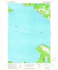
1964 · McGulpin Point
USGS Topo · 1:24,000
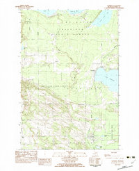
1982 · Levering
USGS Topo · 1:25,000

1982 · Pellston
USGS Topo · 1:25,000
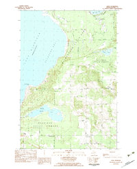
1982 · Bliss
USGS Topo · 1:25,000
1982 · Good Hart
USGS Topo · 1:25,000