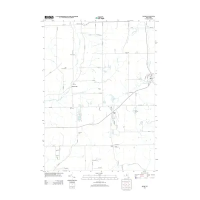
2013 Map of Bliss
USGS Topo · Published 2013About this map
Agricultural life and small rural hamlets define this section of Wyoming County, where the village of Bliss serves as a primary hub for the surrounding countryside. The landscape is marked by the headwaters of several significant waterways, including Cattaraugus Cr, which winds through the western portion, and Wiscoy Cr, which flows near the community of Eagle. Several family-named farms and locations, such as Dziedzic Farms and Zielenieski Farms, illustrate the deep-rooted land ownership patterns of the region.
Find a feature on this map
71 named features on this map. Tap any name to fly to it.
Don’t see what you’re looking for? This feature index may not catch every label — zoom into the map to look around manually.
Map Details
Editions of this 2013 Bliss Map
This is the sole edition of this map. No revisions or reprints were ever made.
Other maps of this area

1905 · Portage
USGS Topo · 1:62,500

1906 · Angelica
USGS Topo · 1:62,500

1923 · Arcade
USGS Topo · 1:62,500

1924 · Franklinville
USGS Topo · 1:62,500

1925 · Arcade
USGS Topo · 1:62,500

1941 · Angelica
USGS Topo · 1:62,500

1942 · Franklinville
USGS Topo · 1:62,500

1943 · Warsaw
USGS Topo · 1:24,000

1943 · Pike
USGS Topo · 1:24,000

1944 · Pike
USGS Topo · 1:31,680