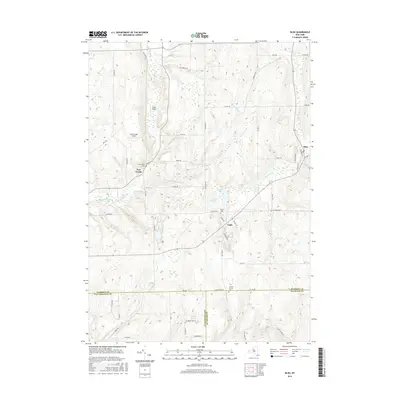
2016 Map of Bliss
USGS Topo · Published 2016About this map
The hamlets of Bliss and East Arcade anchor this corner of Wyoming County, where the headwaters of the Cattaraugus Creek and Wiscoy Cr begin their descent through the upland plateaus. The landscape is defined by a dense network of rural roads such as Telegraph Rd and Java Lake Rd, which serve scattered agricultural holdings and small aviation strips like Keysa Airport and East Arcade Airport. A quiet local history is preserved in small burial grounds, including Saint Mary's Cem and Cadwell Corners Cem.
Find a feature on this map
59 named features on this map. Tap any name to fly to it.
Don’t see what you’re looking for? This feature index may not catch every label — zoom into the map to look around manually.
Map Details
Editions of this 2016 Bliss Map
This is the sole edition of this map. No revisions or reprints were ever made.
Other maps of this area

1905 · Portage
USGS Topo · 1:62,500

1906 · Angelica
USGS Topo · 1:62,500

1923 · Arcade
USGS Topo · 1:62,500

1924 · Franklinville
USGS Topo · 1:62,500

1925 · Arcade
USGS Topo · 1:62,500

1941 · Angelica
USGS Topo · 1:62,500

1942 · Franklinville
USGS Topo · 1:62,500

1943 · Warsaw
USGS Topo · 1:24,000

1943 · Pike
USGS Topo · 1:24,000

1944 · Pike
USGS Topo · 1:31,680