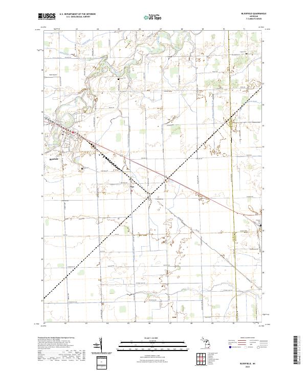
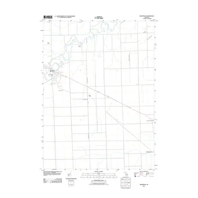
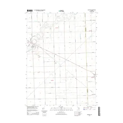
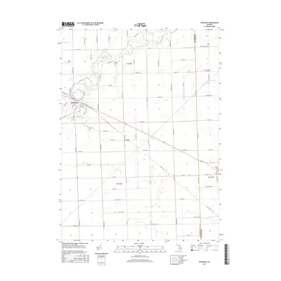
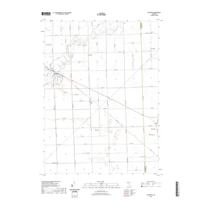
2023 Map of Blissfield
USGS Topo · Published 2023About this map
The River Raisin meanders through this agricultural landscape in southeastern Michigan, defining the layout and growth of Blissfield. This village is characterized by its organized street grid including W Adrian St and High St, reflecting its importance as a local center of commerce and transport. The surrounding terrain is heavily influenced by a sophisticated drainage network essential for the region's farming heritage, featuring the Flager-and-Wadsworth Drain, Floodwood Creek, and Burton and White Drain.
Find a feature on this map
86 named features on this map. Tap any name to fly to it.
Don’t see what you’re looking for? This feature index may not catch every label — zoom into the map to look around manually.
Map Details
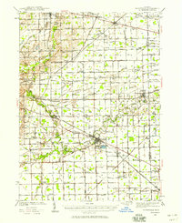
Editions of this 2023 Blissfield Map
This is the sole edition of this map. No revisions or reprints were ever made.
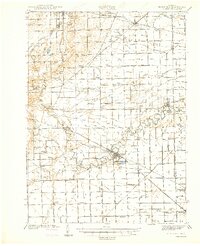
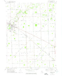
Historical Maps of Whiteford Township Through Time
8 maps found
Featured Locations
- Blissfield Township, MI
- Summerfield Township, MI
- Whiteford Township, MI
- Blissfield, Blissfield Township
- Riga, Riga Township