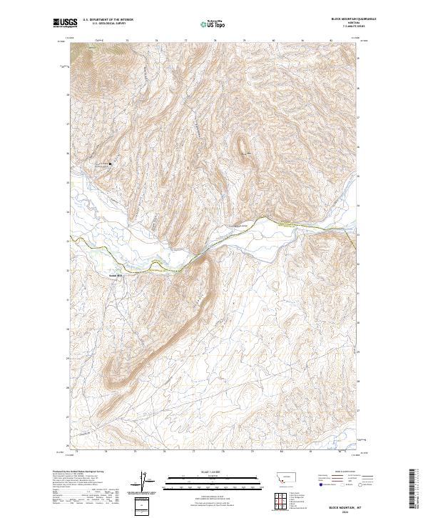
2024 Map of Block Mountain
USGS Topo · Published 2024About this map
The Grave of Charles and Emily Buhrer sits north of the Big Hole River along the Madison Co and Beaverhead Co border, marking a poignant piece of local history in this Montana landscape. This 2024 survey documents a terrain defined by extensive irrigation works and high-elevation landmarks. Managed water systems, including the Buhrer-Garrison Ditch, Fred Bryant Ditch, and Cocanougher Ditch, traverse the lowlands near Stevens Slough, supporting the region's agricultural needs.
Find a feature on this map
29 named features on this map. Tap any name to fly to it.
Don’t see what you’re looking for? This feature index may not catch every label — zoom into the map to look around manually.
Map Details
Editions of this 2024 Block Mountain Map
This is the sole edition of this map. No revisions or reprints were ever made.
Other maps of this area

1893 · Dillon
USGS Topo · 1:250,000

1955 · Dillon
USGS Topo · 1:250,000

1957 · Dillon
USGS Topo · 1:250,000

1958 · Dillon
USGS Topo · 1:250,000

1960 · Glen
USGS Topo · 1:24,000

1960 · Block Mountain
USGS Topo · 1:24,000

1960 · Twin Bridges
USGS Topo · 1:62,500

1961 · Glen SE
USGS Topo · 1:24,000

1961 · Earls Gulch
USGS Topo · 1:24,000

1961 · Nez Perce Hollow
USGS Topo · 1:24,000