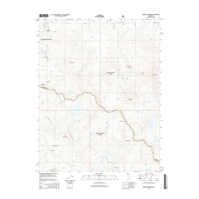
2015 Map of Bloody Mountain
USGS Topo · Published 2015About this map
Mammoth Lakes serves as the northern anchor for this high-altitude landscape, where the Sierra Nevada crest divides the Inyo National Forest from the Sierra National Forest. The map detail follows the dramatic elevation shifts along the Mono and Fresno County line, punctuated by landmarks like Mammoth Rock and the towering Bloody Mountain. A complex network of alpine hydrology is documented here, ranging from the large basin of Duck Lake to the secluded Skelton Lake and Woods Lakes. The Pacific Crest National Scenic Trail winds through the southwestern sector, crossing near Cascade Valley, illustrating the era's established recreational infrastructure. Geological features such as Laurel Mtn and Sevehah Cliff dominate the eastern reaches, while drainage systems like Sherwin Creek and Cold Water Creek define the rugged local watersheds.
Find a feature on this map
62 named features on this map. Tap any name to fly to it.
Don’t see what you’re looking for? This feature index may not catch every label — zoom into the map to look around manually.
Map Details
Editions of this 2015 Bloody Mountain Map
This is the sole edition of this map. No revisions or reprints were ever made.
Other maps of this area

1901 · Mt. Lyell
USGS Topo · 1:125,000

1904 · Kaiser
USGS Topo · 1:125,000

1912 · Mt. Goddard
USGS Topo · 1:125,000

1914 · Mt. Morrison
USGS Topo · 1:125,000

1947 · Mariposa
USGS Topo · 1:250,000

1948 · Mariposa
USGS Topo · 1:250,000

1953 · Mt. Morrison
USGS Topo · 1:62,500

1953 · Mt Abbot
USGS Topo · 1:62,500

1953 · Devils Postpile
USGS Topo · 1:62,500

1953 · Kaiser Peak
USGS Topo · 1:62,500