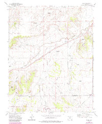
1972 Map of Bloom
USGS Topo · Published 1985About this map
Bloom stands as a pivotal point in the southeastern Colorado landscape, marking the intersection of historical transport corridors and ranching infrastructure. The Atchison Topeka and Santa Fe railroad cuts a straight diagonal through the terrain, running parallel to the historic Santa Fe Trail. This alignment underscores the area's legacy as a transit artery through the Bloom Hills. The map reveals a land defined by water management, featuring an extensive network of namesake catchments such as Prink Reservoir, Daniher Reservoir, and Fultz Reservoir.
Find a feature on this map
41 named features on this map. Tap any name to fly to it.
Don’t see what you’re looking for? This feature index may not catch every label — zoom into the map to look around manually.
Map Details
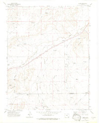
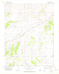
Editions of this 1972 Bloom Map
3 editions found
Other maps of this area

1891 · Timpas
USGS Topo · 1:125,000

1891 · Apishapa
USGS Topo · 1:125,000

1893 · Apishapa
USGS Topo · 1:125,000

1894 · Timpas
USGS Topo · 1:125,000

1897 · Apishapa
USGS Topo · 1:125,000

1954 · Trinidad
USGS Topo · 1:250,000

1955 · La Junta
USGS Topo · 1:250,000

1955 · Trinidad
USGS Topo · 1:250,000

1958 · La Junta
USGS Topo · 1:250,000

1958 · Trinidad
USGS Topo · 1:250,000