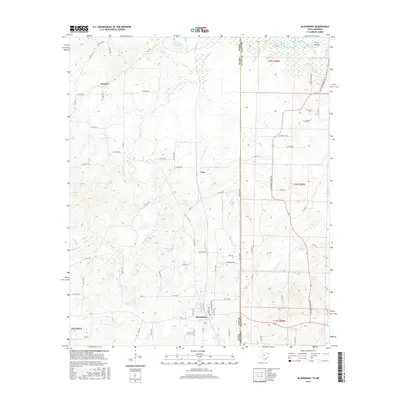
2016 Map of Bloomburg
USGS Topo · Published 2016About this map
Bloomburg sits near the heart of this East Texas survey, where the convergence of several major roads including FM 74 and FM 251 marks a center of activity just west of the border. The landscape is defined by the winding course of the Sulphur River in the northeast corner, which creates a complex hydrology of backwaters such as Long Slough, Cypress Slough, and Smith Lake. These wetlands and the presence of Ford Islands suggest the importance of river navigation and drainage in the local economy and land use.
Find a feature on this map
82 named features on this map. Tap any name to fly to it.
Don’t see what you’re looking for? This feature index may not catch every label — zoom into the map to look around manually.
Map Details
Editions of this 2016 Bloomburg Map
This is the sole edition of this map. No revisions or reprints were ever made.
Other maps of this area

1907 · Atlanta
USGS Topo · 1:62,500

1909 · Texarkana
USGS Topo · 1:62,500

1910 · Atlanta
USGS Topo · 1:62,500

1952 · Doddridge NW
USGS Topo · 1:24,000

1952 · Doddridge
USGS Topo · 1:24,000

1952 · Fouke
USGS Topo · 1:24,000

1953 · Texarkana
USGS Topo · 1:250,000

1953 · El Dorado
USGS Topo · 1:250,000

1954 · Domino
USGS Topo · 1:24,000

1954 · Lake Texarkana
USGS Topo · 1:24,000