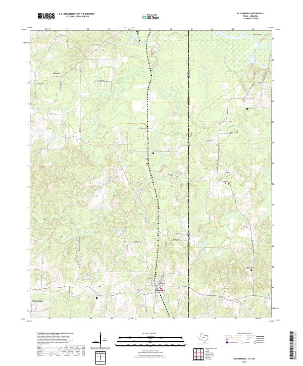
2022 Map of Bloomburg
USGS Topo · Published 2022About this map
Bloomburg sits at the intersection of Texas and Arkansas, serving as a primary focal point in this northeast corner of the state. The landscape is defined by the winding Sulphur River to the north and a network of drainages including Cypress Cr, Little Cypress Cr, and Texas Cr. These watercourses create a complex environment of sloughs and lakes, such as Porterfield Lake and Smith Lake, reflecting the bottomland geography of the Ark-La-Tex region.
Find a feature on this map
90 named features on this map. Tap any name to fly to it.
Don’t see what you’re looking for? This feature index may not catch every label — zoom into the map to look around manually.
Map Details
Editions of this 2022 Bloomburg Map
This is the sole edition of this map. No revisions or reprints were ever made.
Other maps of this area

1907 · Atlanta
USGS Topo · 1:62,500

1909 · Texarkana
USGS Topo · 1:62,500

1910 · Atlanta
USGS Topo · 1:62,500

1952 · Doddridge NW
USGS Topo · 1:24,000

1952 · Doddridge
USGS Topo · 1:24,000

1952 · Fouke
USGS Topo · 1:24,000

1953 · Texarkana
USGS Topo · 1:250,000

1953 · El Dorado
USGS Topo · 1:250,000

1954 · Domino
USGS Topo · 1:24,000

1954 · Lake Texarkana
USGS Topo · 1:24,000