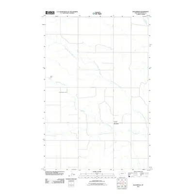
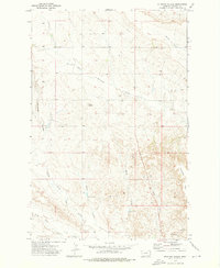
2011 Map of Bloomfield
USGS Topo · Published 2011About this map
Bloomfield serves as the central hub of this eastern Montana landscape, situated at the junction of Fas 254 and Road 532. This 2011 survey reveals a territory deeply defined by its drainage systems, where the winding courses of Thirteenmile Creek, Center Fork Thirteenmile Creek, and North Fork Thirteenmile Creek dictate the layout of the local road network and property divisions. The presence of the Bloomfield Post Office marks the community's enduring role as a local service point for the surrounding agricultural tracts.
Find a feature on this map
14 named features on this map. Tap any name to fly to it.
Don’t see what you’re looking for? This feature index may not catch every label — zoom into the map to look around manually.
Map Details
Editions of this 2011 Bloomfield Map
This is the sole edition of this map. No revisions or reprints were ever made.
Other maps of this area
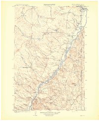
1909 · Glendive
USGS Topo · 1:250,000

1954 · Glendive
USGS Topo · 1:250,000

1957 · Glendive
USGS Topo · 1:250,000
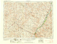
1958 · Glendive
USGS Topo · 1:250,000
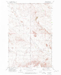
1972 · Red Top
USGS Topo · 1:24,000
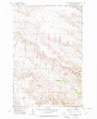
1972 · Morgan Creek School
USGS Topo · 1:24,000
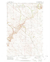
1972 · Clay Butte
USGS Topo · 1:24,000
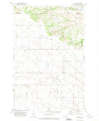
1972 · Enid SE
USGS Topo · 1:24,000
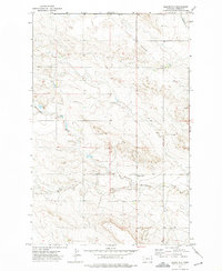
1972 · Bloomfield
USGS Topo · 1:24,000
1972 · Stinking Coulee
USGS Topo · 1:24,000