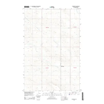
2014 Map of Bloomfield
USGS Topo · Published 2014About this map
Bloomfield serves as the primary focal point of this Eastern Montana landscape, situated at the intersection of Mt-470 and Road 439. The map details a rural geography defined by a complex drainage system, most notably Thirteenmile Cr and its tributaries, the Center Fork Thirteenmile Cr and N Fork Thirteenmile Cr. These waterways meander through the township divisions of t20n r53e and t19n r54e, illustrating the traditional section-line road grid that governs movement across Dawson County. A Po landmark identifies the local post office, anchoring the small community center. The topographic survey reflects the area's late-twentieth and early twenty-first-century character, where agricultural land use and natural creek beds dictate the placement of local routes like Road 515 and Cr-532.
Find a feature on this map
17 named features on this map. Tap any name to fly to it.
Don’t see what you’re looking for? This feature index may not catch every label — zoom into the map to look around manually.
Map Details
Editions of this 2014 Bloomfield Map
This is the sole edition of this map. No revisions or reprints were ever made.
Other maps of this area

1909 · Glendive
USGS Topo · 1:250,000

1954 · Glendive
USGS Topo · 1:250,000

1957 · Glendive
USGS Topo · 1:250,000

1958 · Glendive
USGS Topo · 1:250,000

1972 · Red Top
USGS Topo · 1:24,000

1972 · Morgan Creek School
USGS Topo · 1:24,000

1972 · Clay Butte
USGS Topo · 1:24,000

1972 · Enid SE
USGS Topo · 1:24,000

1972 · Bloomfield
USGS Topo · 1:24,000

1972 · Stinking Coulee
USGS Topo · 1:24,000