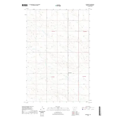
2020 Map of Bloomfield
USGS Topo · Published 2020About this map
Bloomfield serves as the focal point of this Eastern Montana landscape, situated at the intersection of Hwy 470 and Rd 532. The area is defined by its agricultural layout, organized by a rigid grid of local routes such as Rd 439 and Rd 515. This rural infrastructure supports the remote ranching and farming operations typical of Dawson County.
Find a feature on this map
14 named features on this map. Tap any name to fly to it.
Don’t see what you’re looking for? This feature index may not catch every label — zoom into the map to look around manually.
Map Details
Editions of this 2020 Bloomfield Map
This is the sole edition of this map. No revisions or reprints were ever made.
Other maps of this area

1909 · Glendive
USGS Topo · 1:250,000
1954 · Glendive
USGS Topo · 1:250,000
1957 · Glendive
USGS Topo · 1:250,000
1958 · Glendive
USGS Topo · 1:250,000
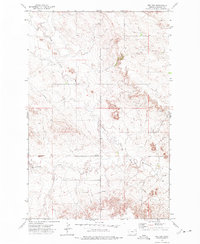
1972 · Red Top
USGS Topo · 1:24,000
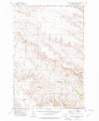
1972 · Morgan Creek School
USGS Topo · 1:24,000
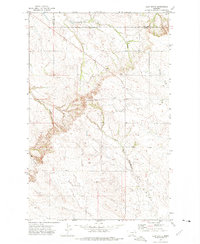
1972 · Clay Butte
USGS Topo · 1:24,000
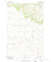
1972 · Enid SE
USGS Topo · 1:24,000
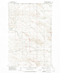
1972 · Bloomfield
USGS Topo · 1:24,000
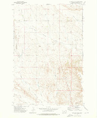
1972 · Stinking Coulee
USGS Topo · 1:24,000