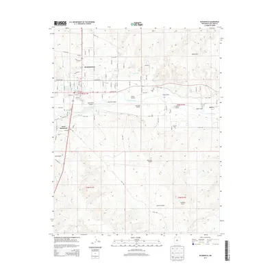
2013 Map of Bloomfield
USGS Topo · Published 2013About this map
The San Juan River valley serves as the central artery for this portion of San Juan County, anchoring the town of Bloomfield and the nearby settlements of West Hammond and Blanco. Agriculture and irrigation are prominent features of the landscape, evidenced by the Citizens Ditch which skirts the northern edge of the river valley. The surrounding terrain is defined by a series of significant drainages and geological features, including Sullivan Canyon, Bloomfield Canyon, and Kutz Canyon, which carve through the high plateaus of the Four Corners region. Genealogists and local historians will find the Hammond Cem south of the river, while the grid of Bloomfield shows the growth of the community along W Blanco Blvd and E Blanco Blvd. The map captures the intersection of water-driven settlement and the arid, dissected topography of northwestern New Mexico.
Find a feature on this map
86 named features on this map. Tap any name to fly to it.
Don’t see what you’re looking for? This feature index may not catch every label — zoom into the map to look around manually.
Map Details
Editions of this 2013 Bloomfield Map
This is the sole edition of this map. No revisions or reprints were ever made.
Other maps of this area

1889 · Largo
USGS Topo · 1:250,000

1889 · Chaco
USGS Topo · 1:250,000

1892 · Chaco
USGS Topo · 1:250,000

1895 · Largo
USGS Topo · 1:250,000

1954 · Shiprock
USGS Topo · 1:250,000

1954 · Aztec
USGS Topo · 1:250,000

1958 · Shiprock
USGS Topo · 1:250,000

1958 · Aztec
USGS Topo · 1:250,000

1959 · Shiprock
USGS Topo · 1:250,000

1959 · Aztec
USGS Topo · 1:62,500